
Historic Headingley centre
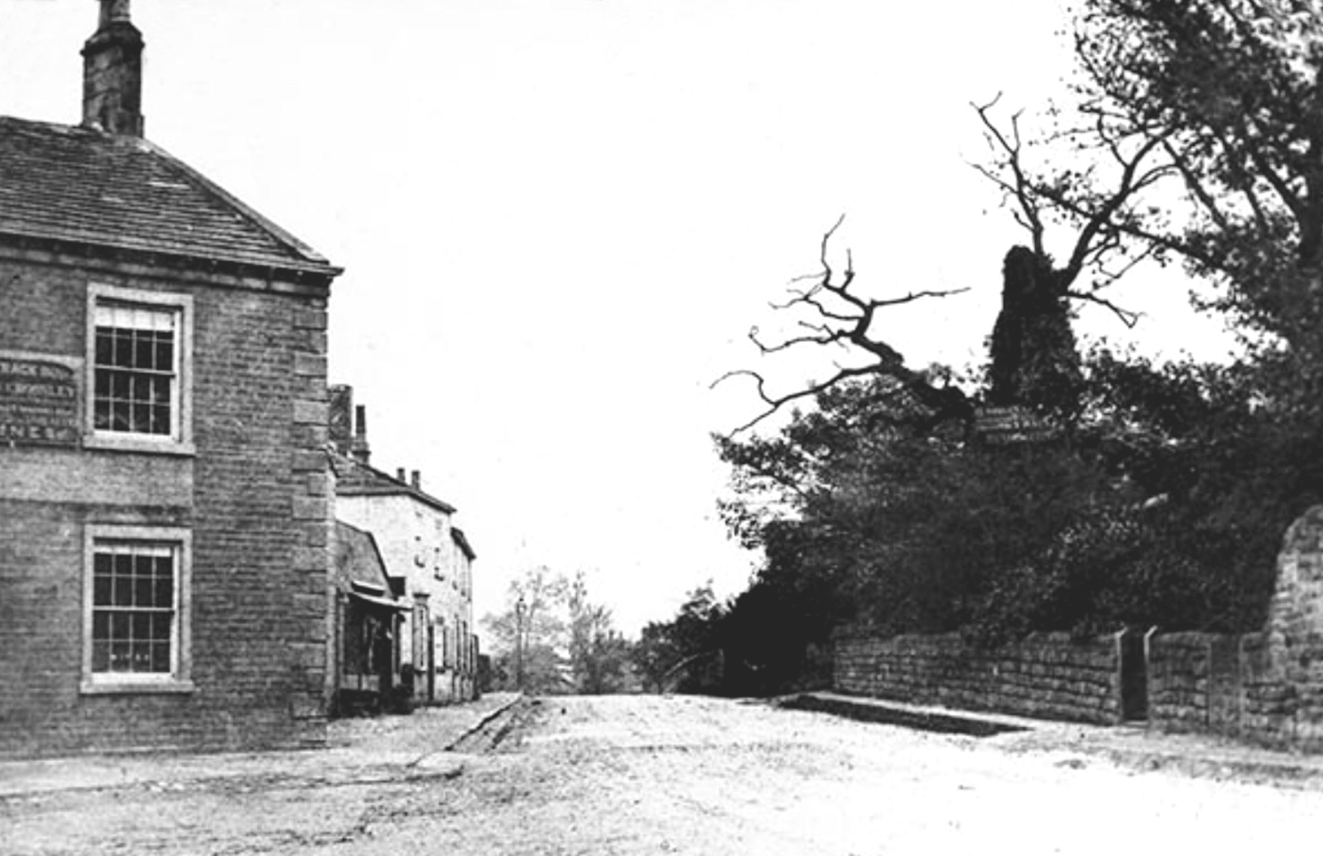
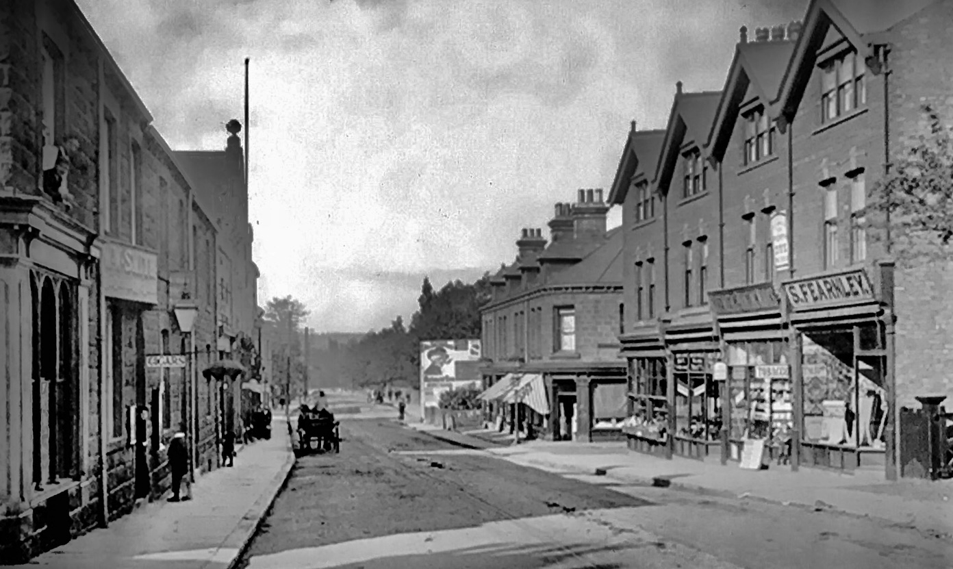
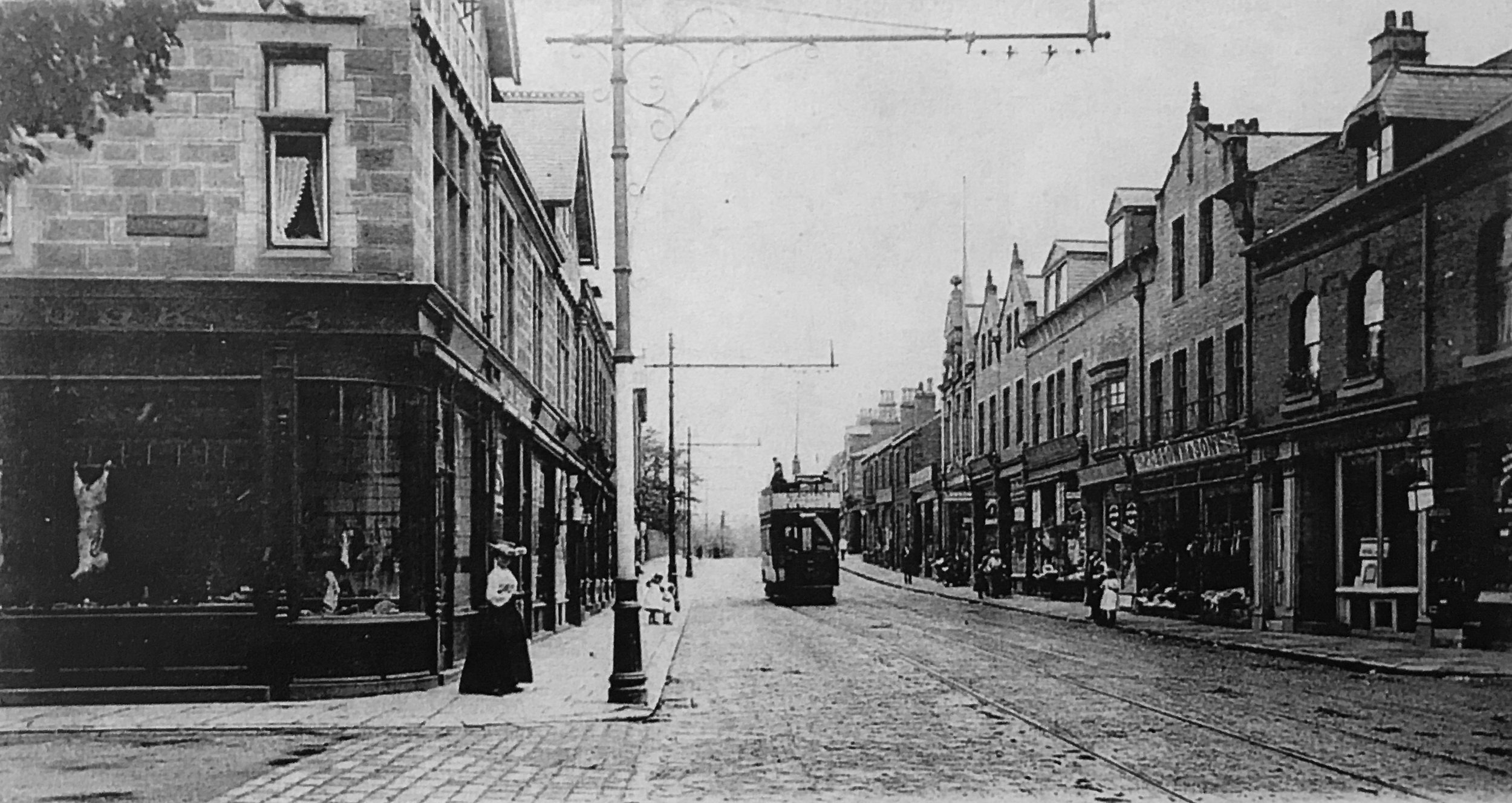
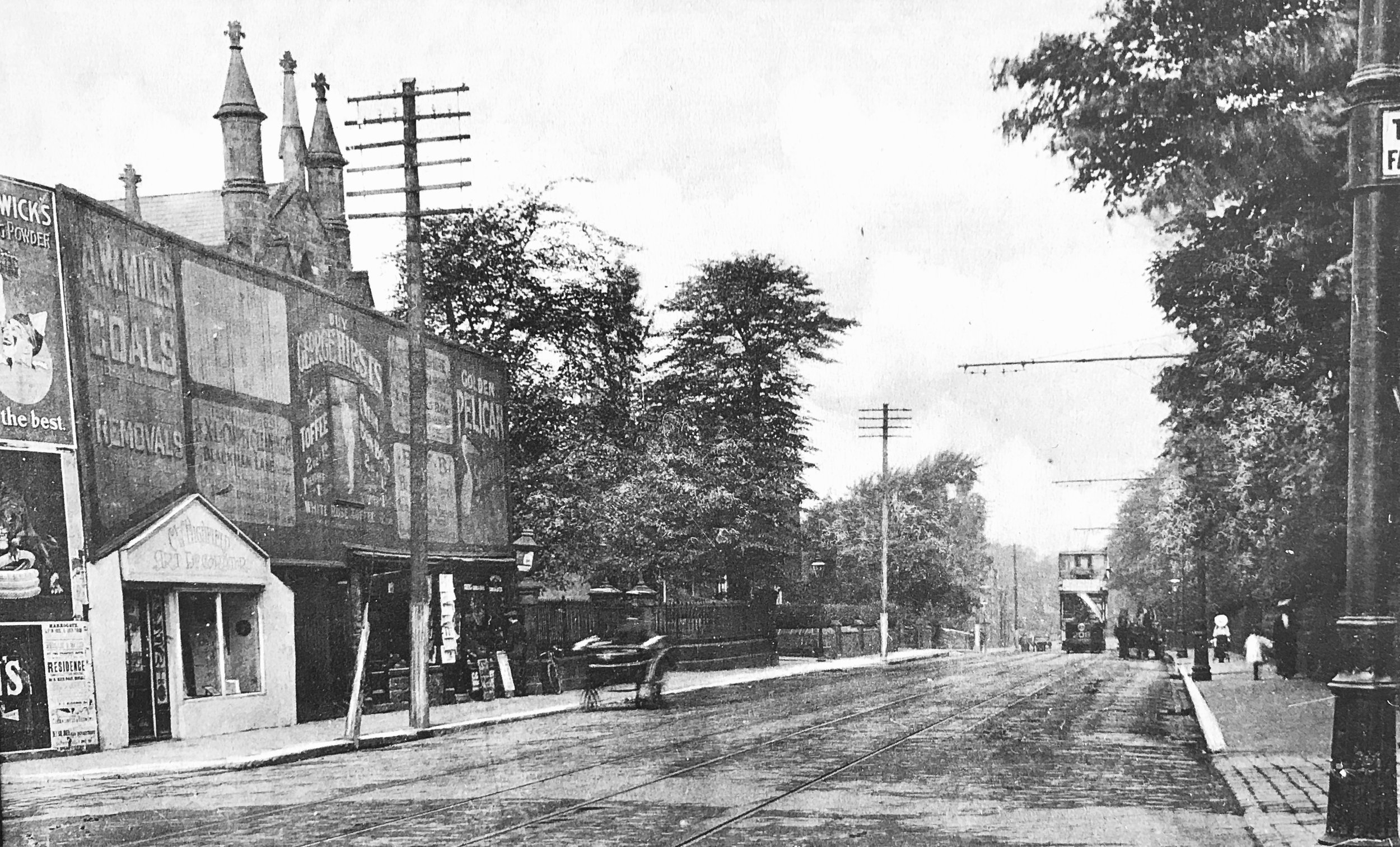
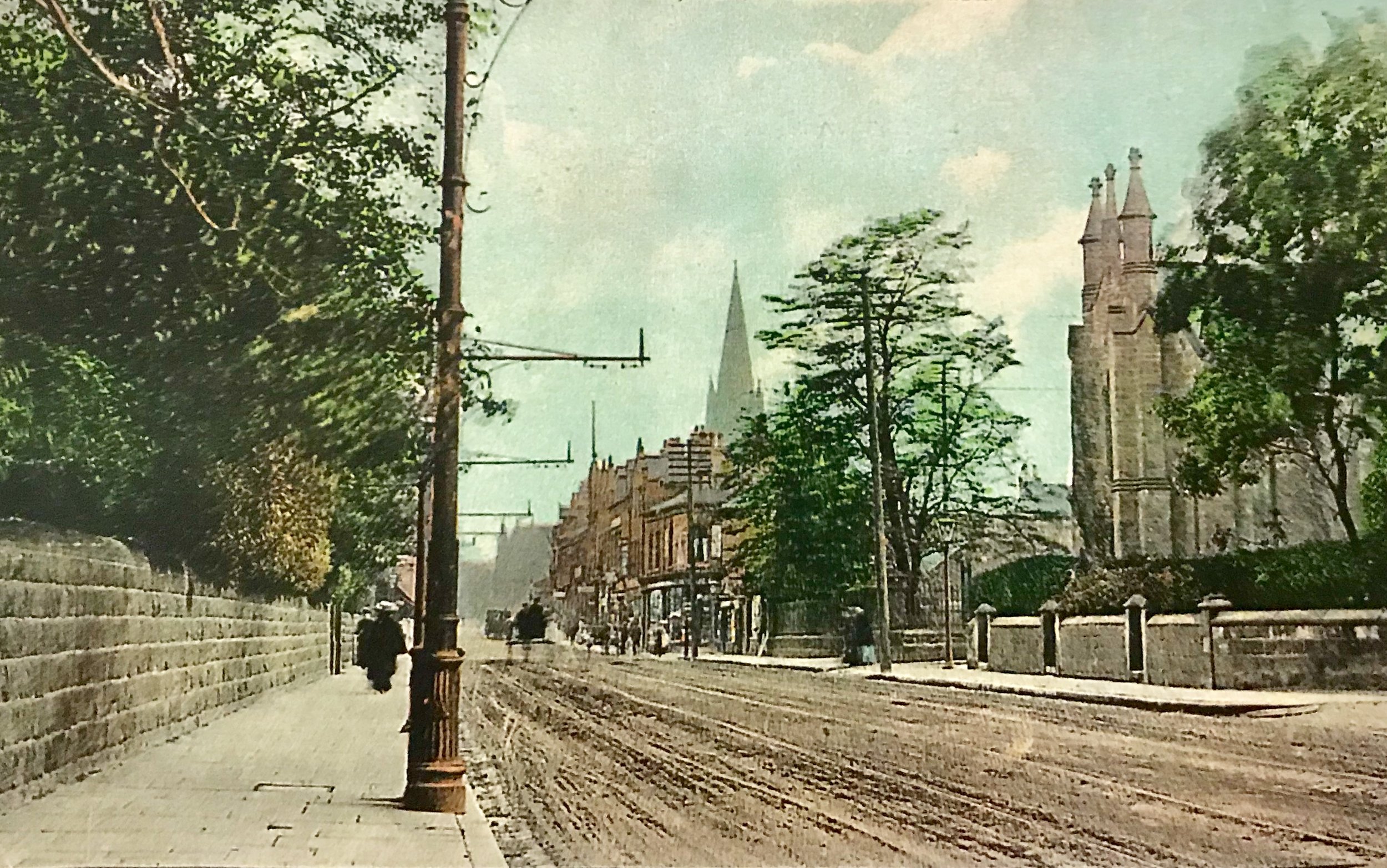
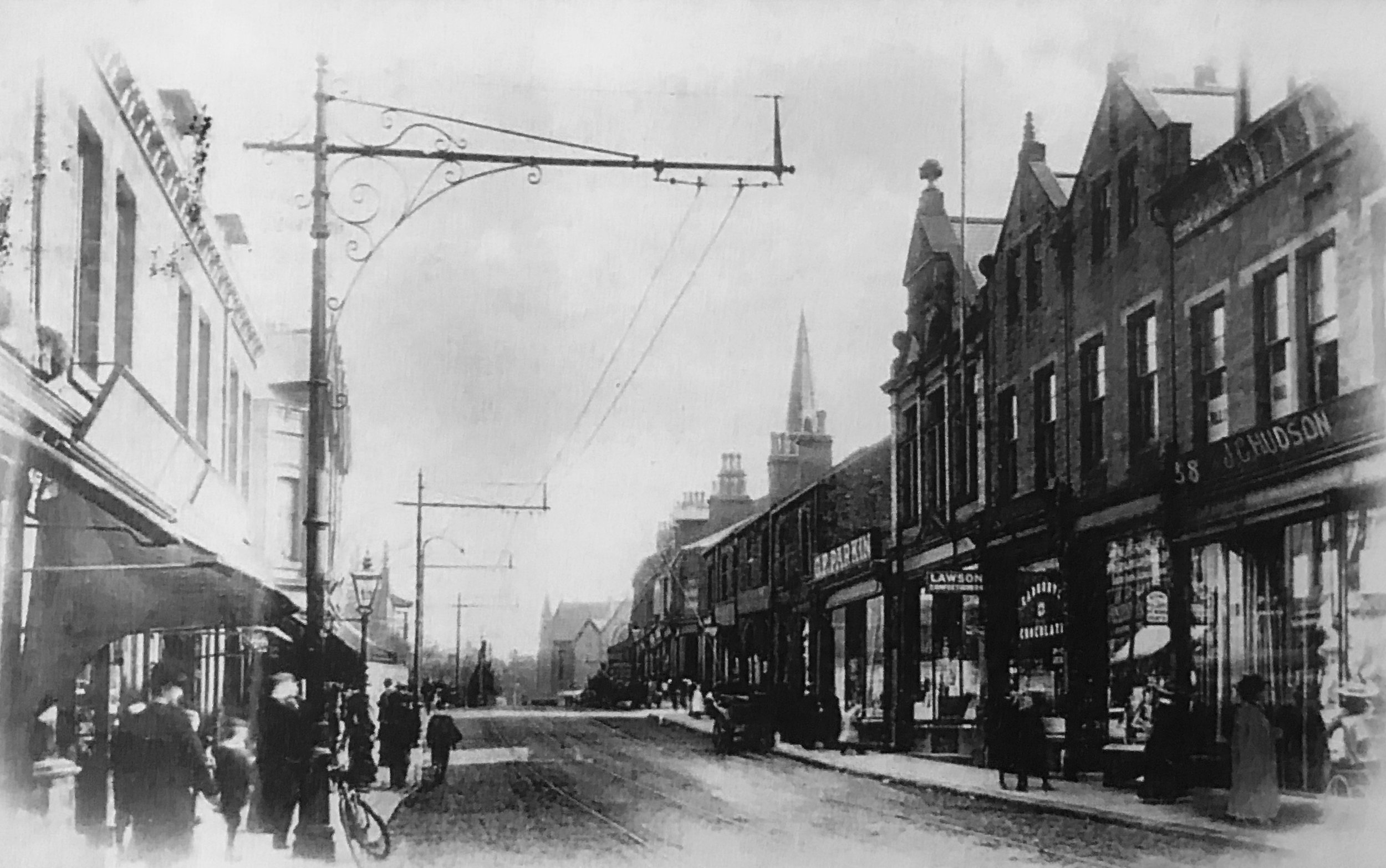
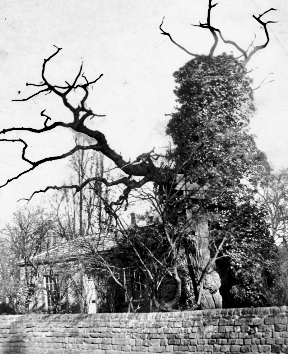
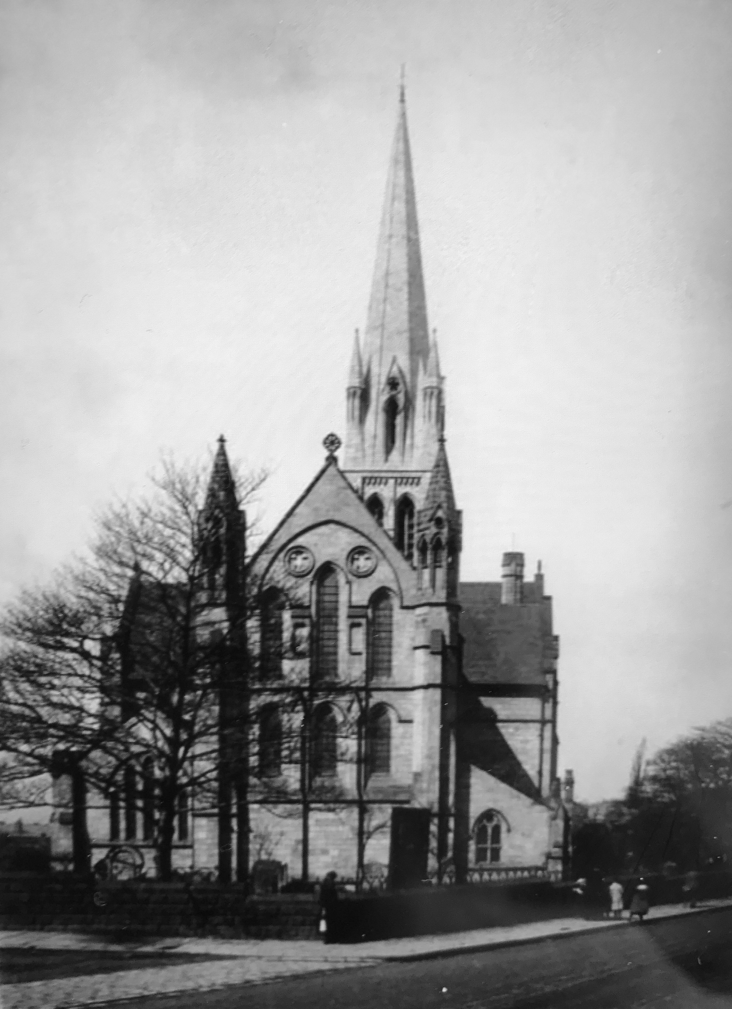
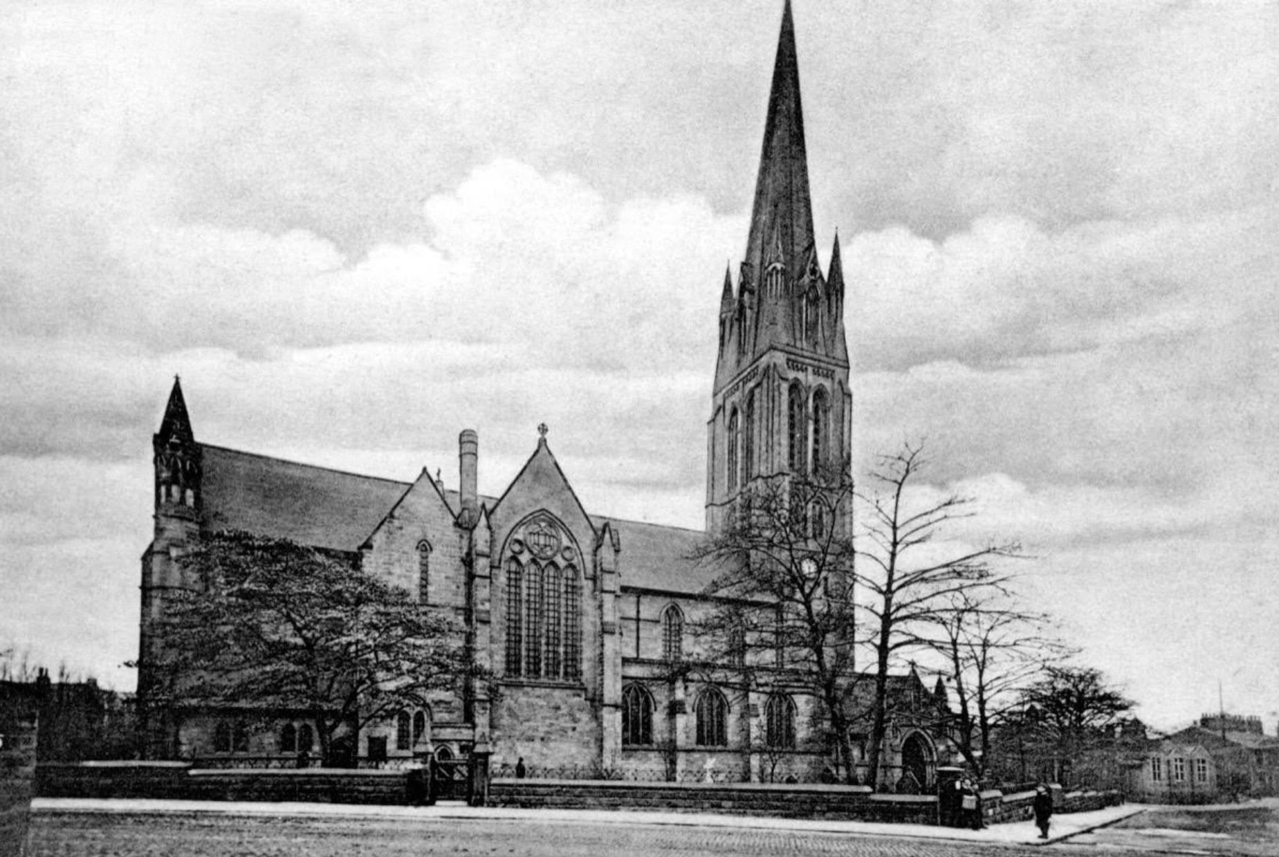
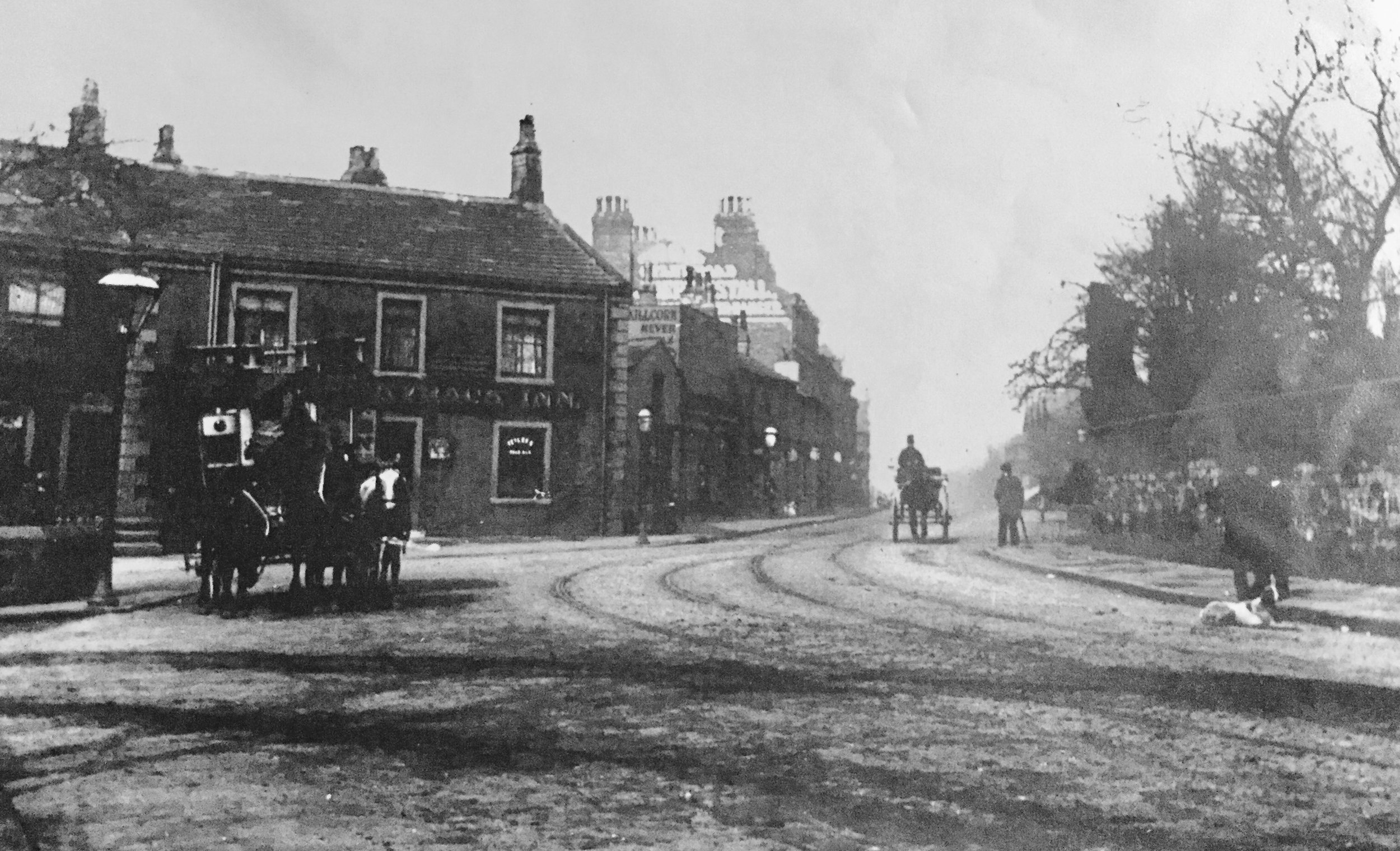
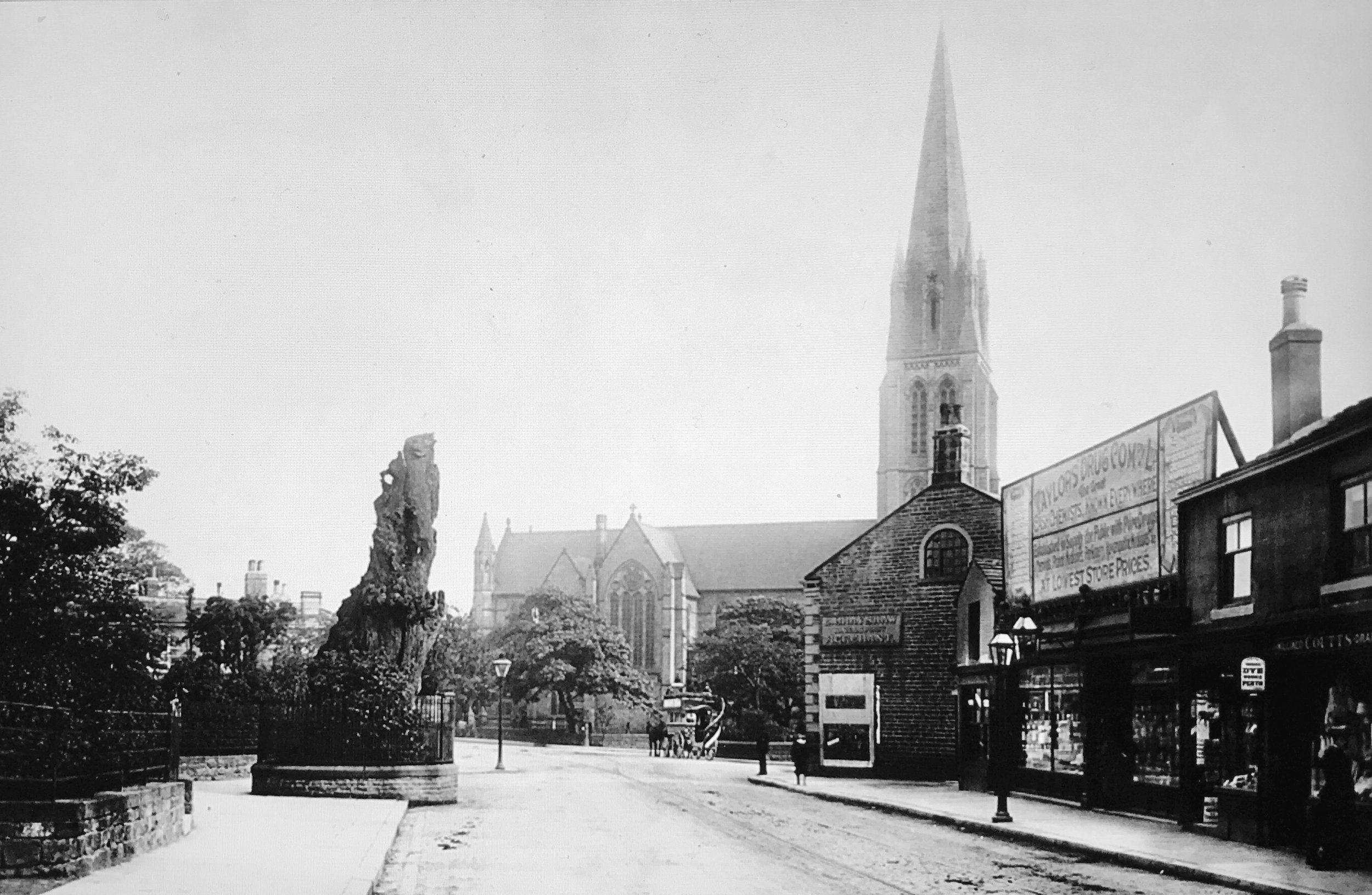
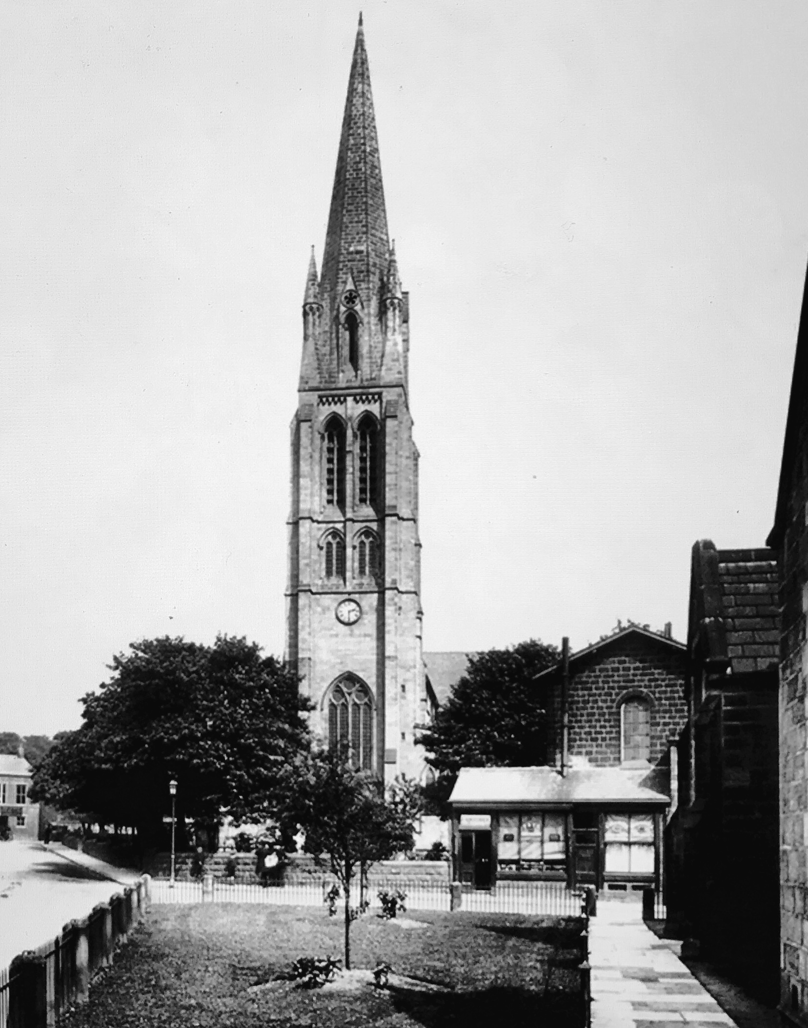
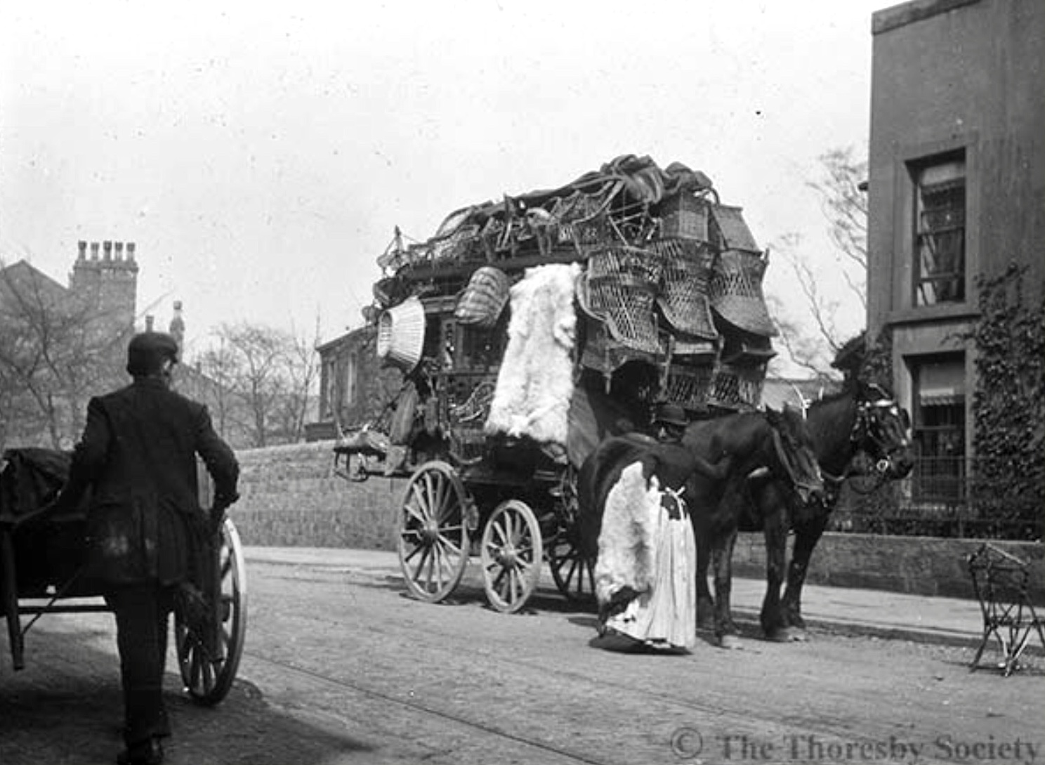
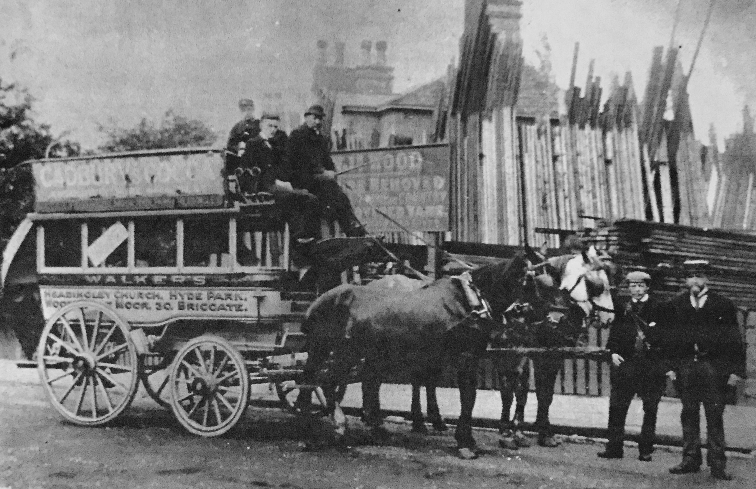
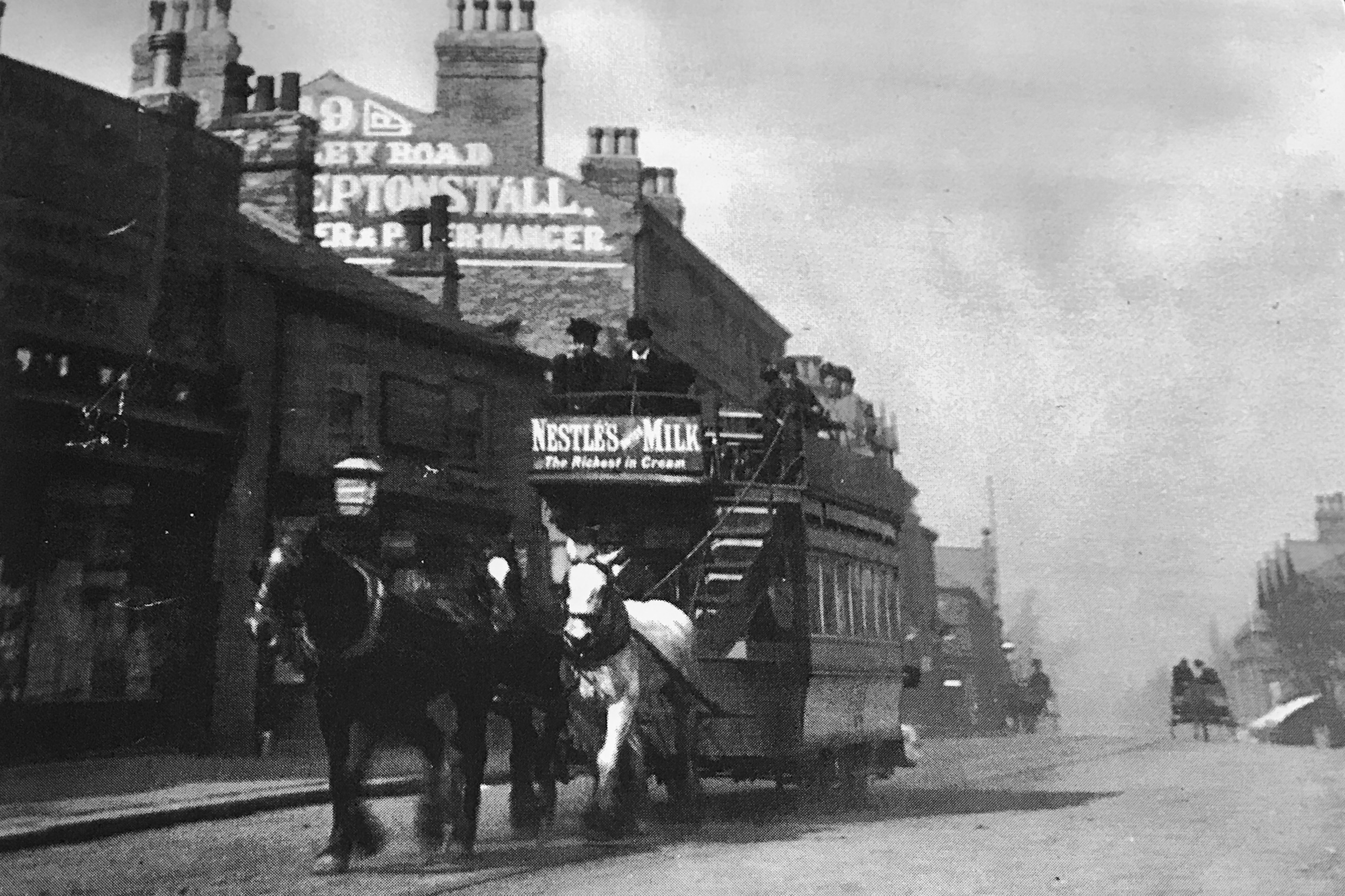
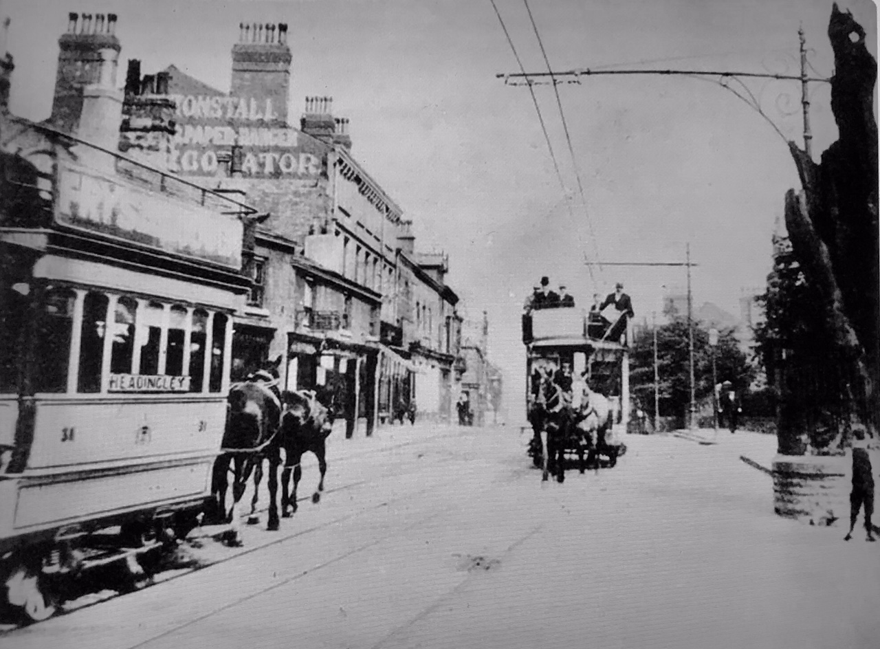
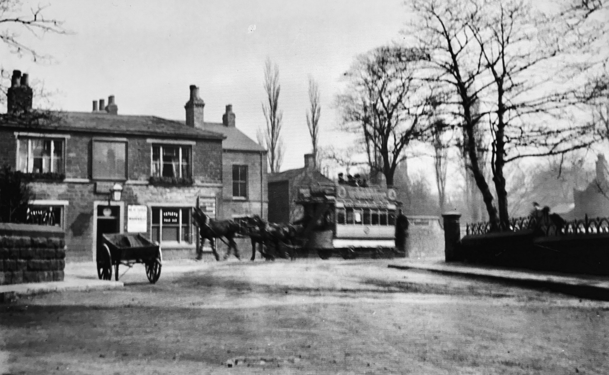
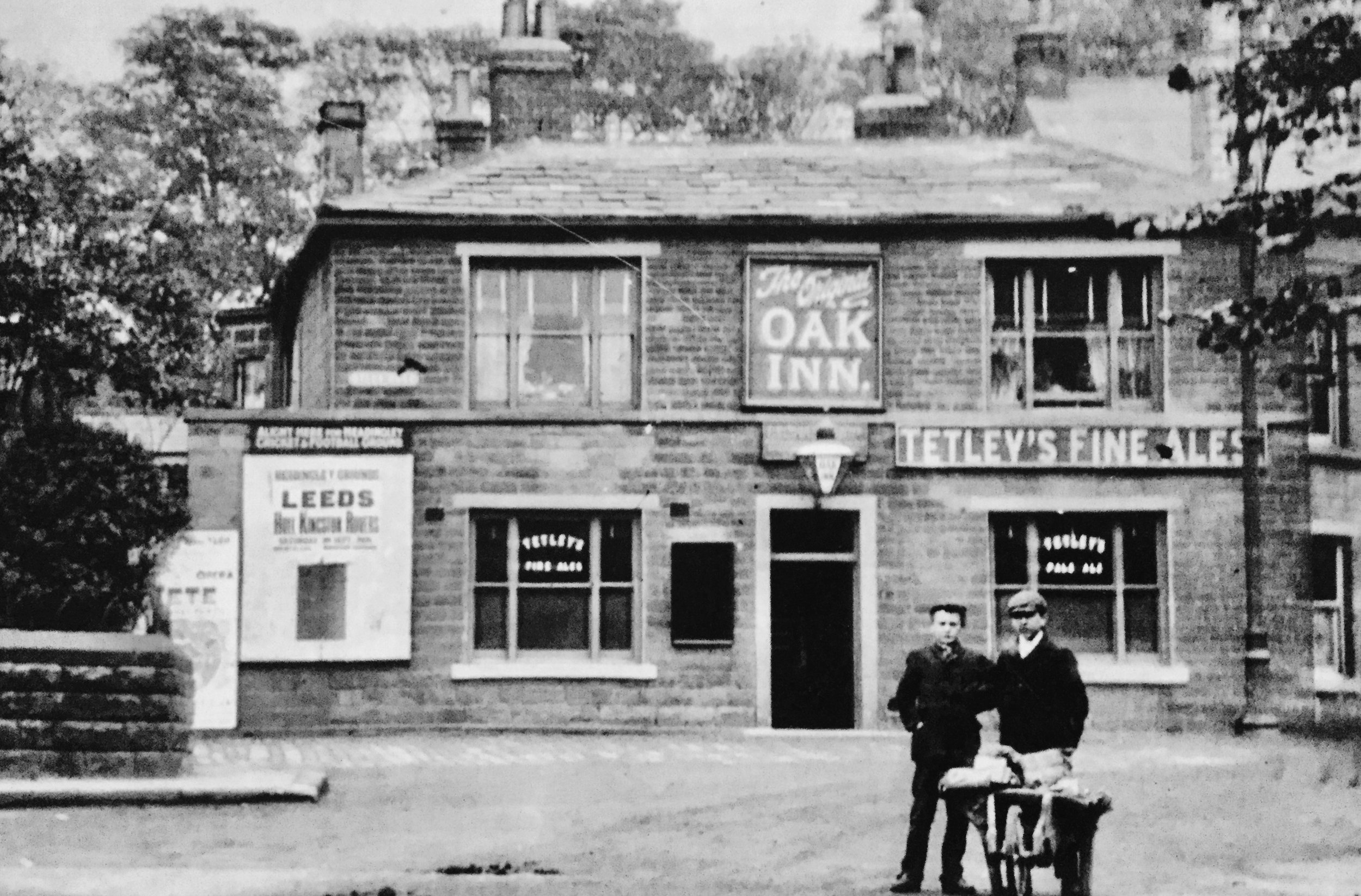
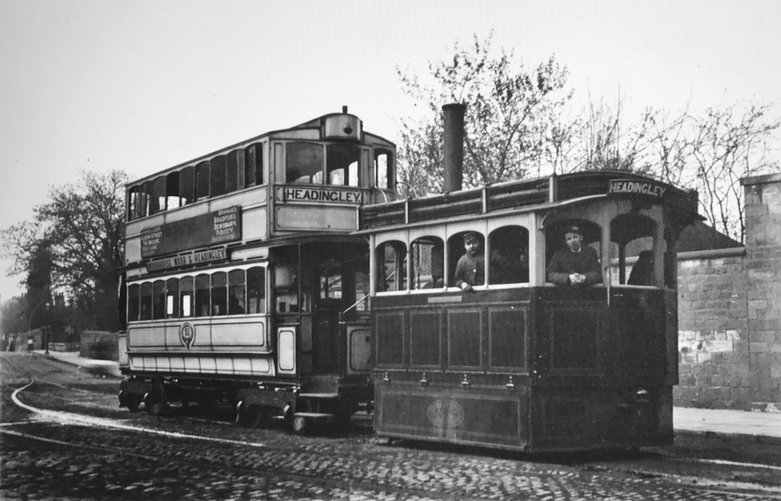
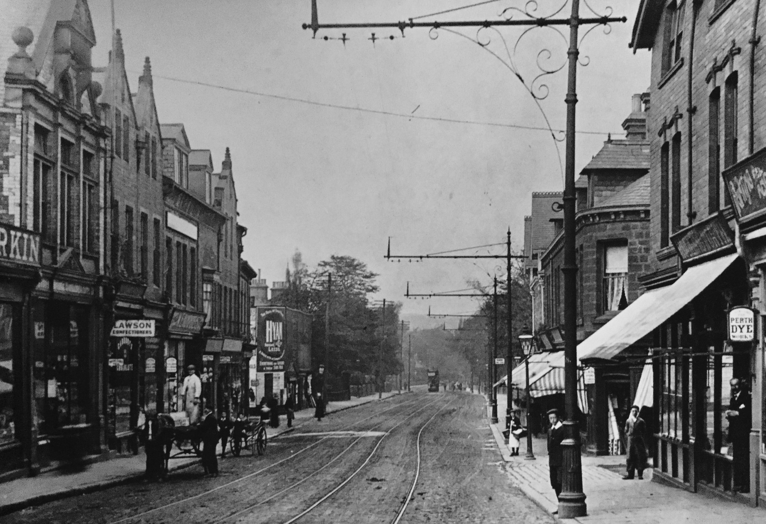
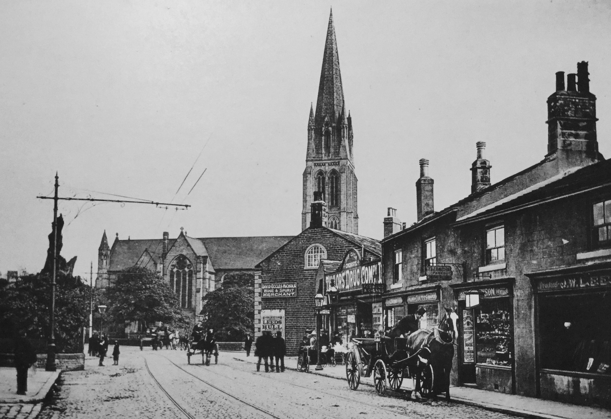
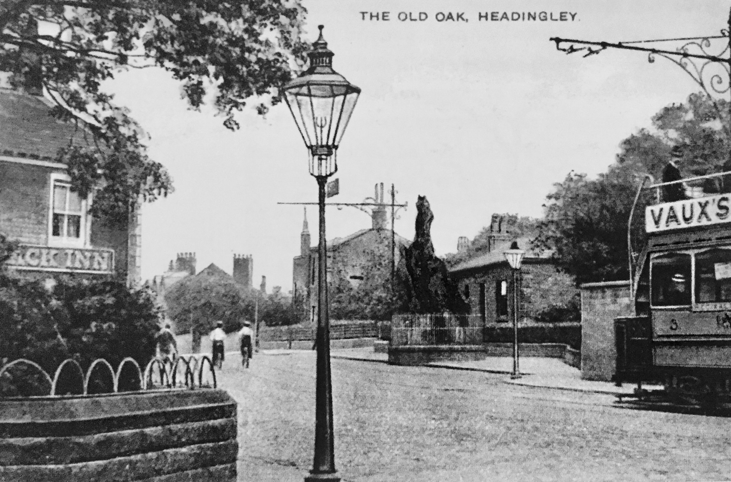
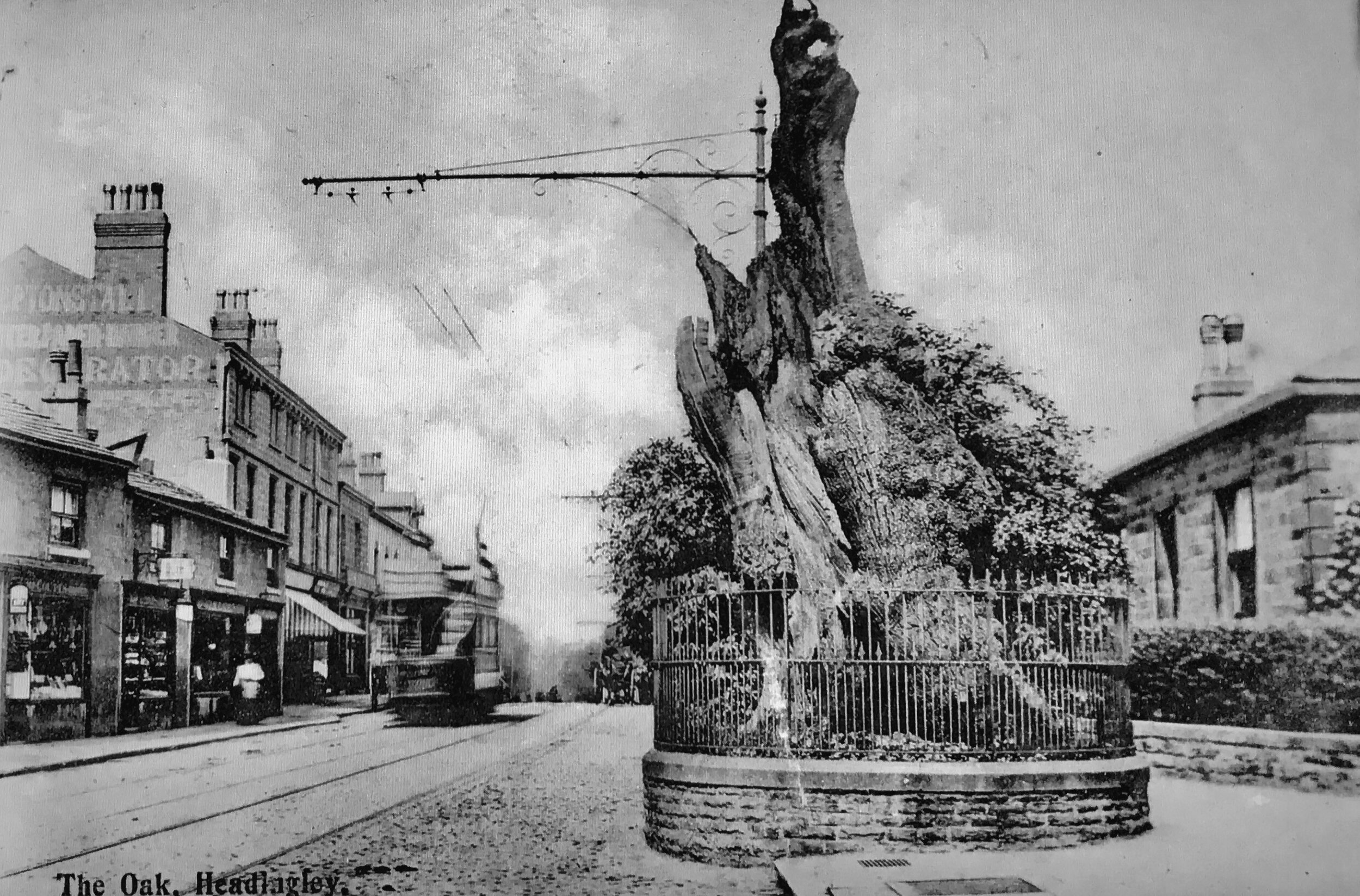
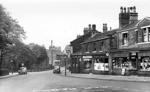
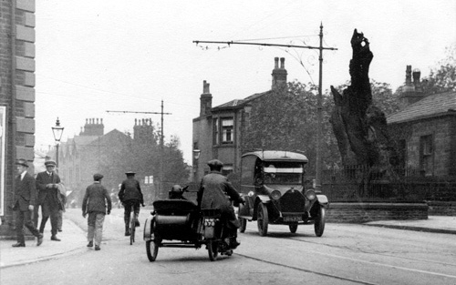
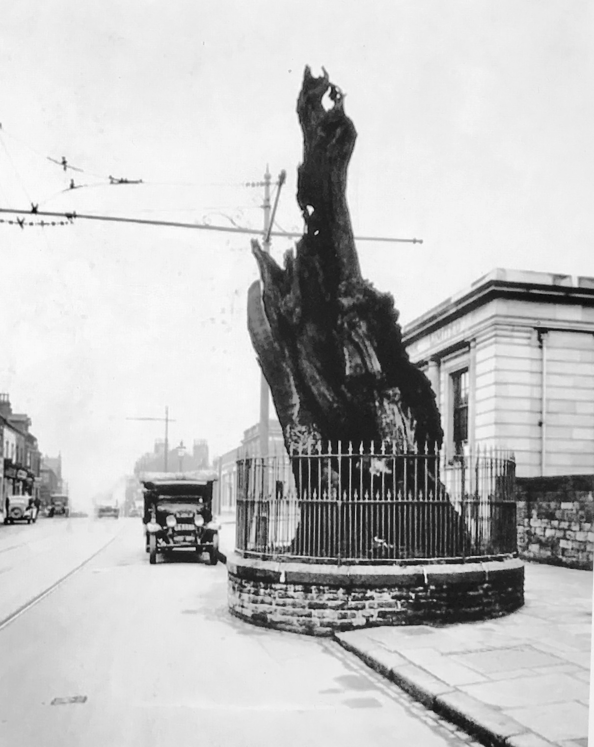
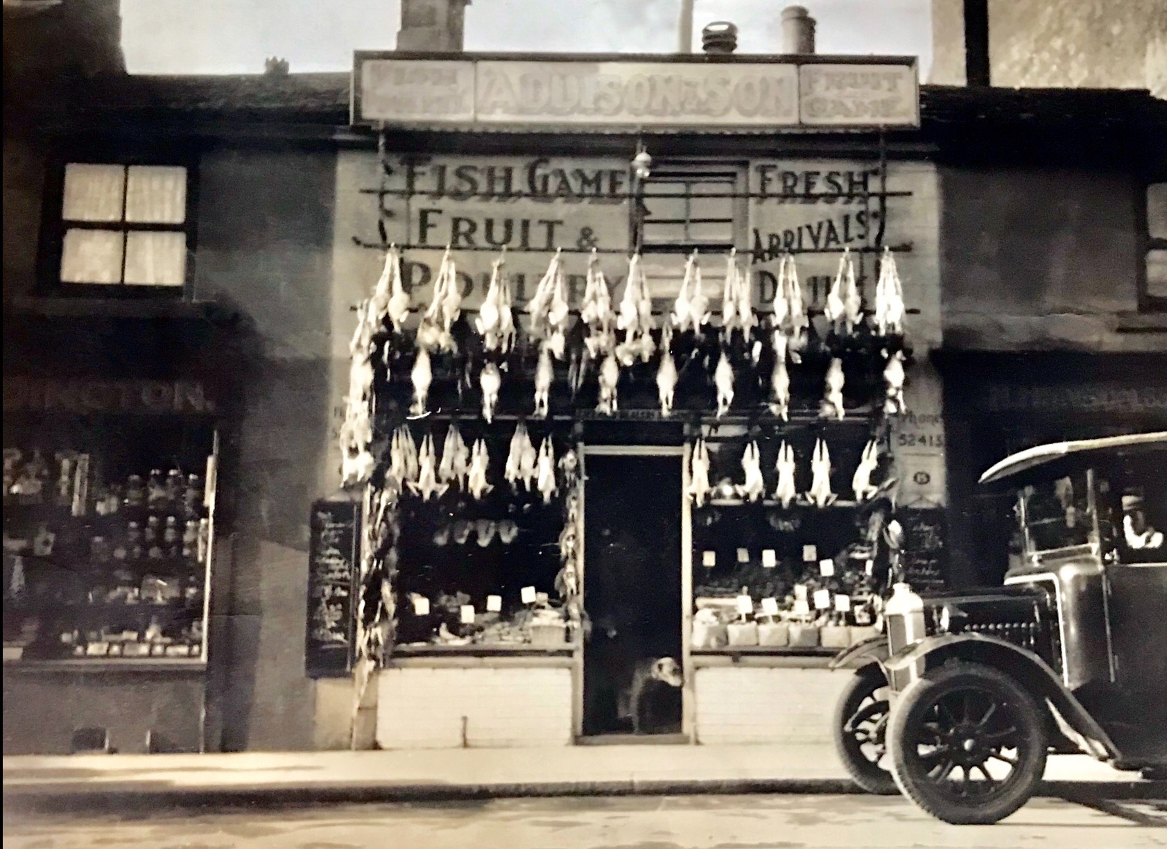
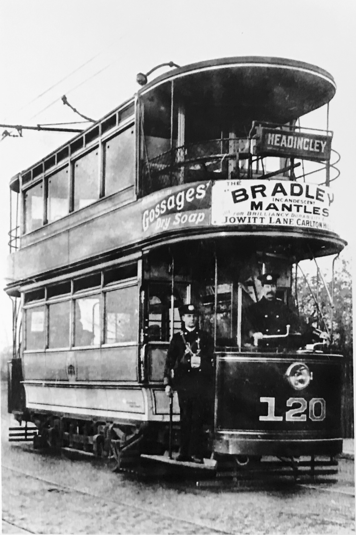
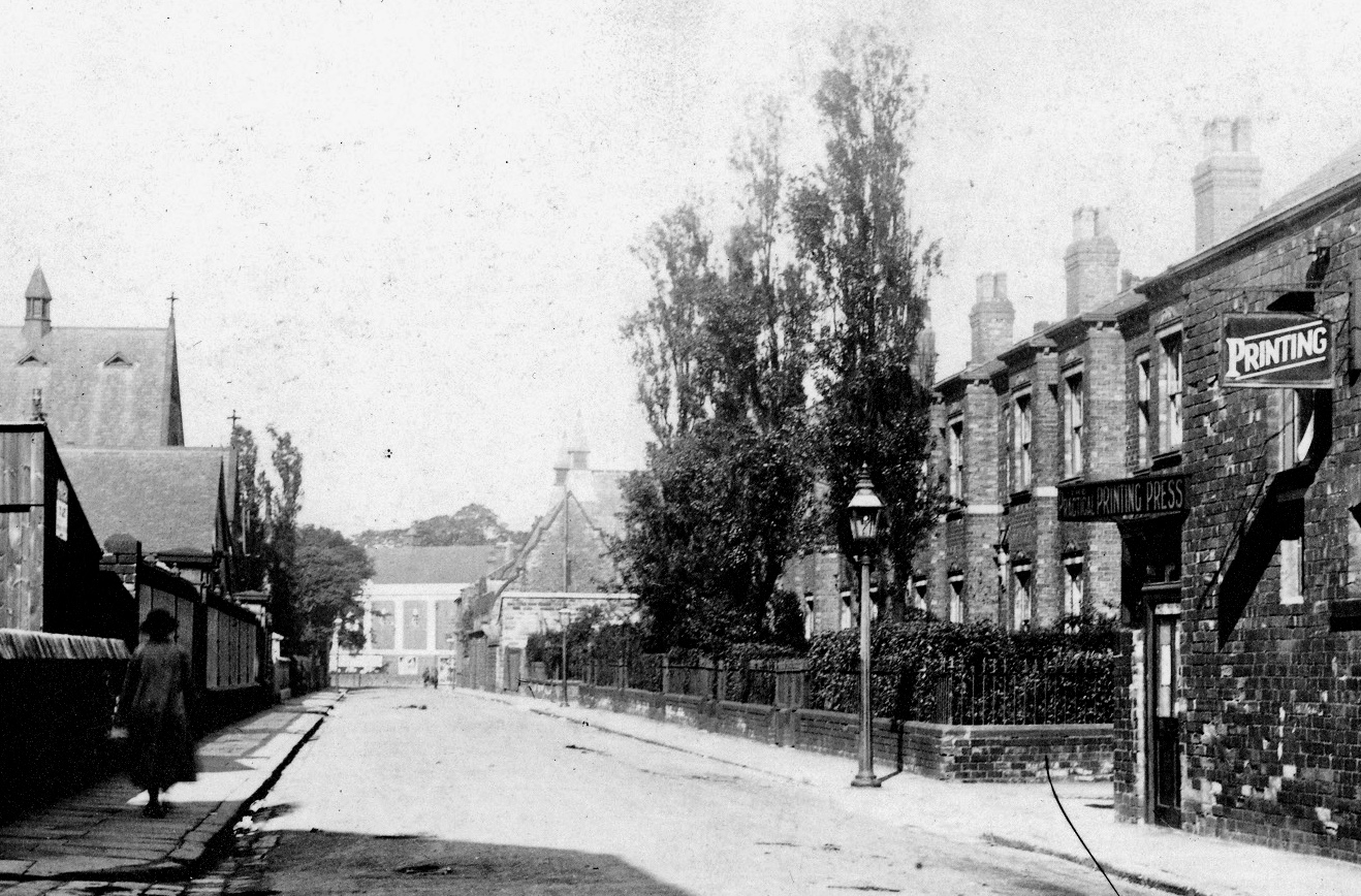
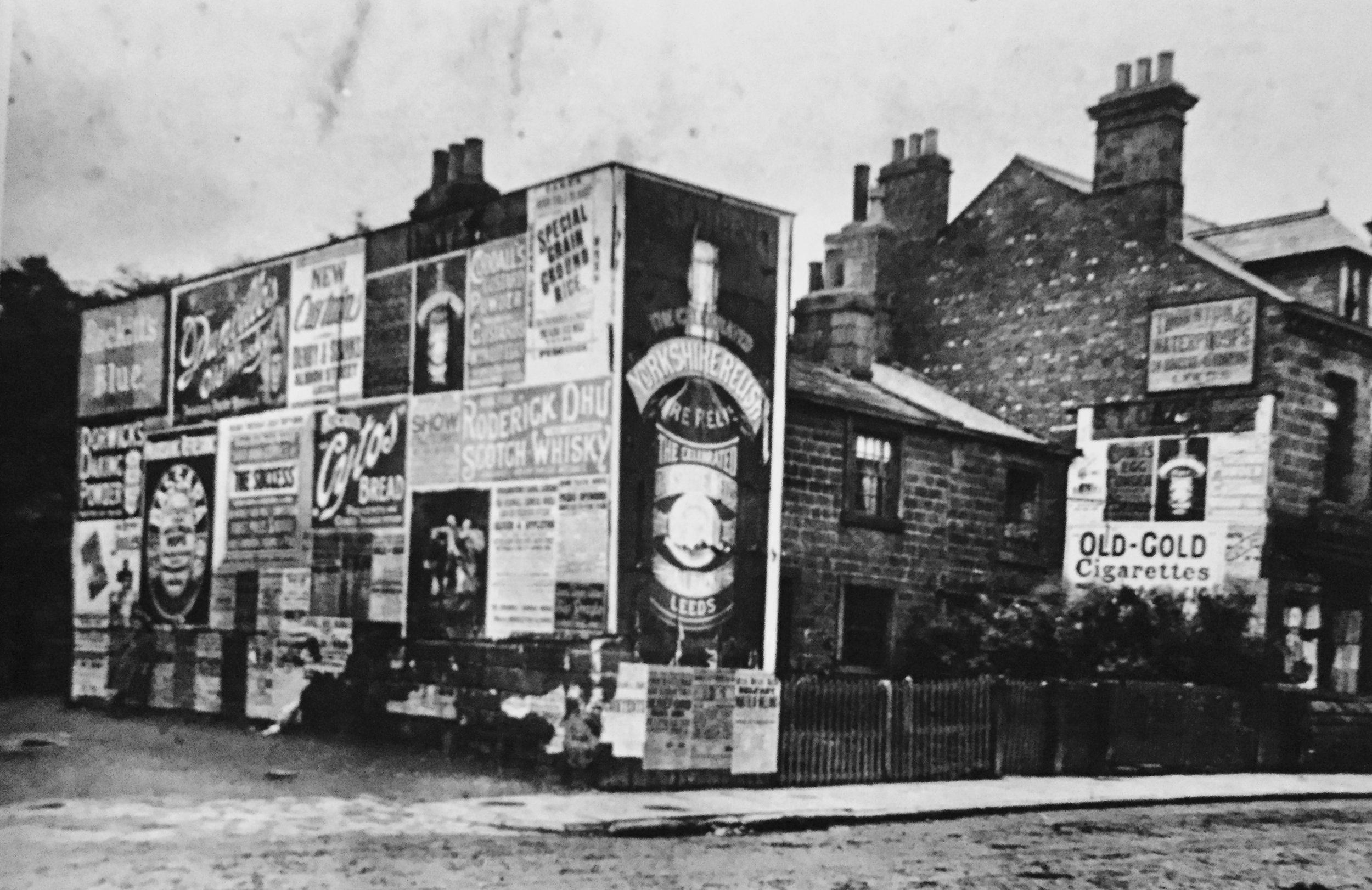
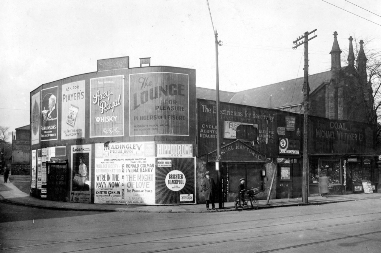
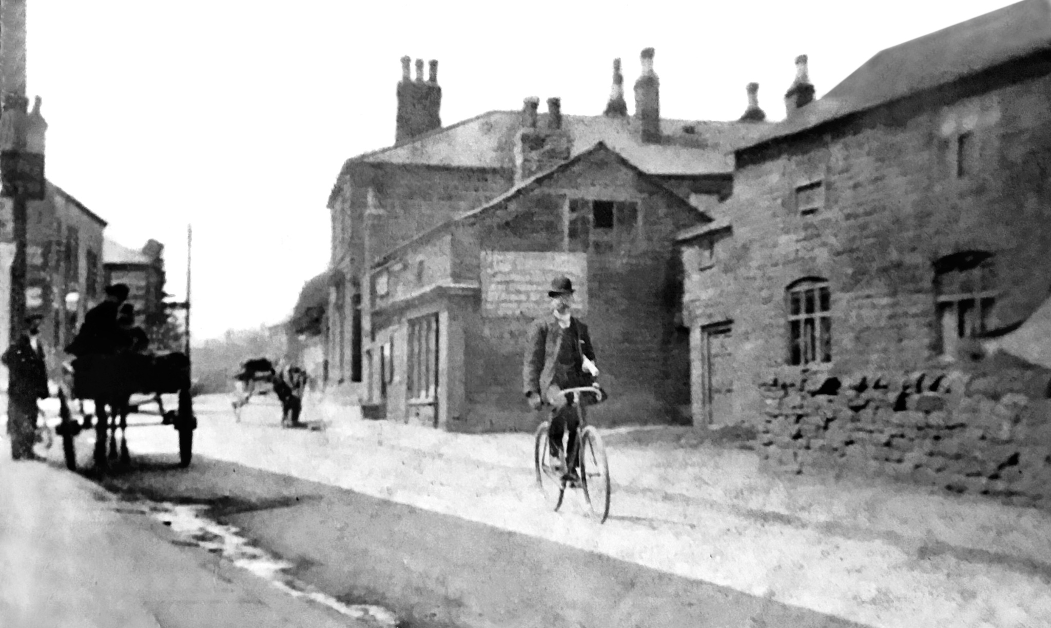
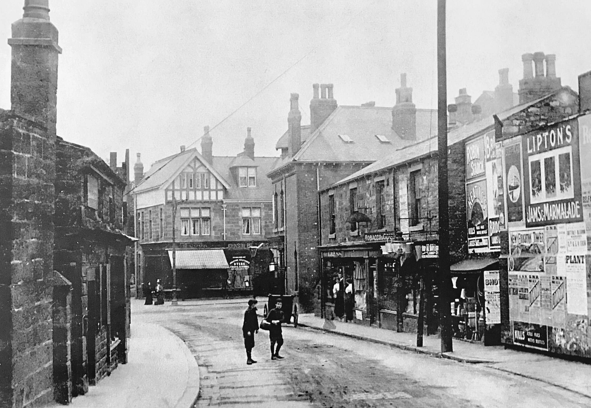
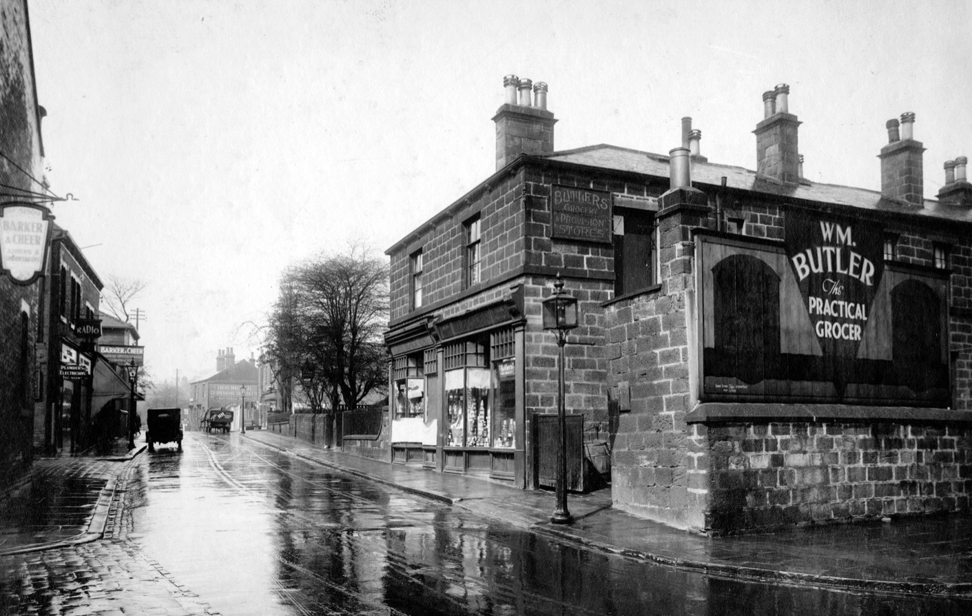
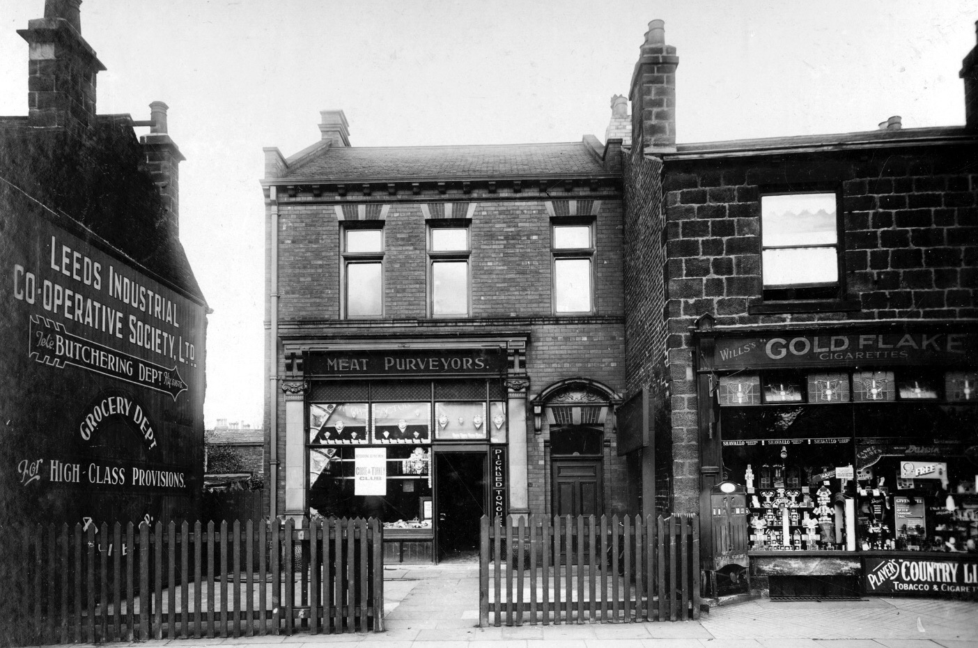
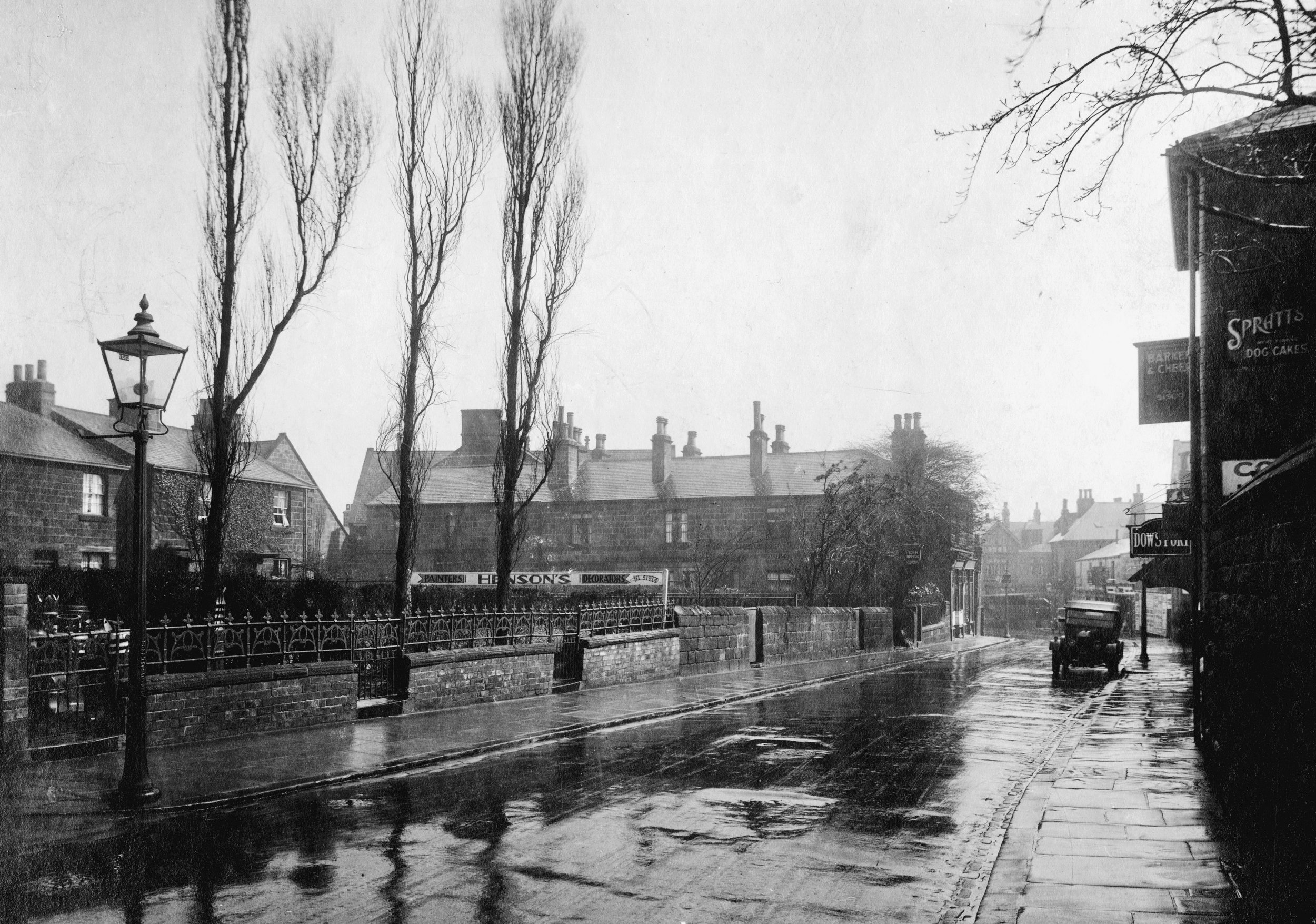
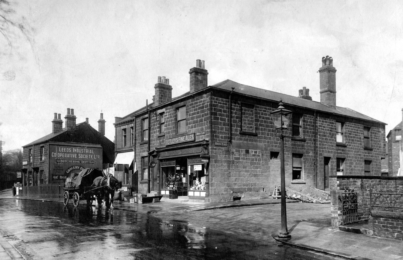
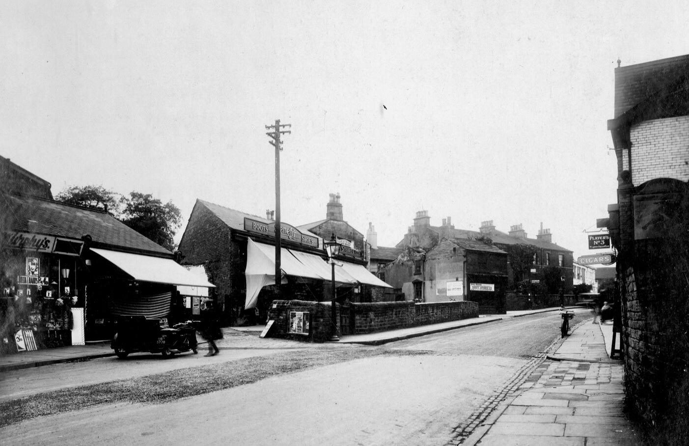
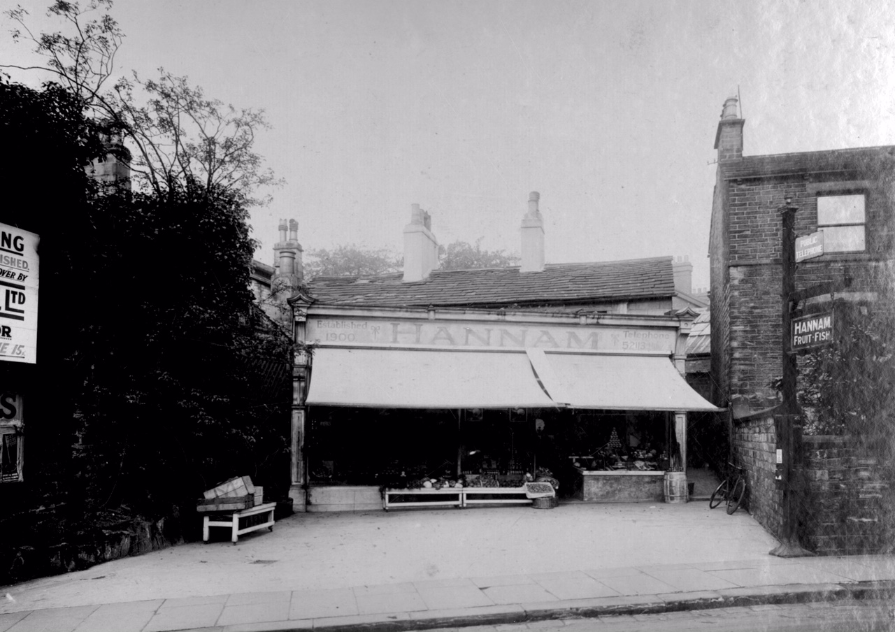
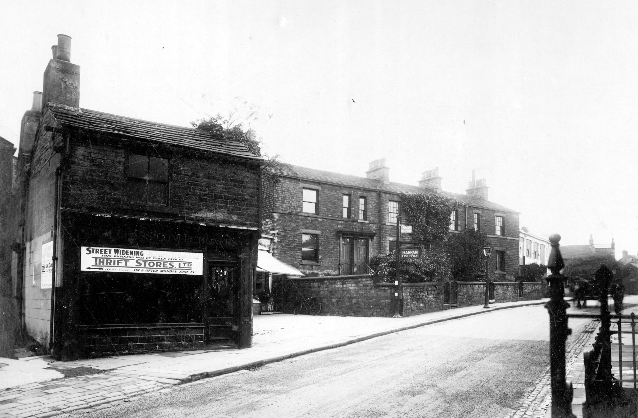
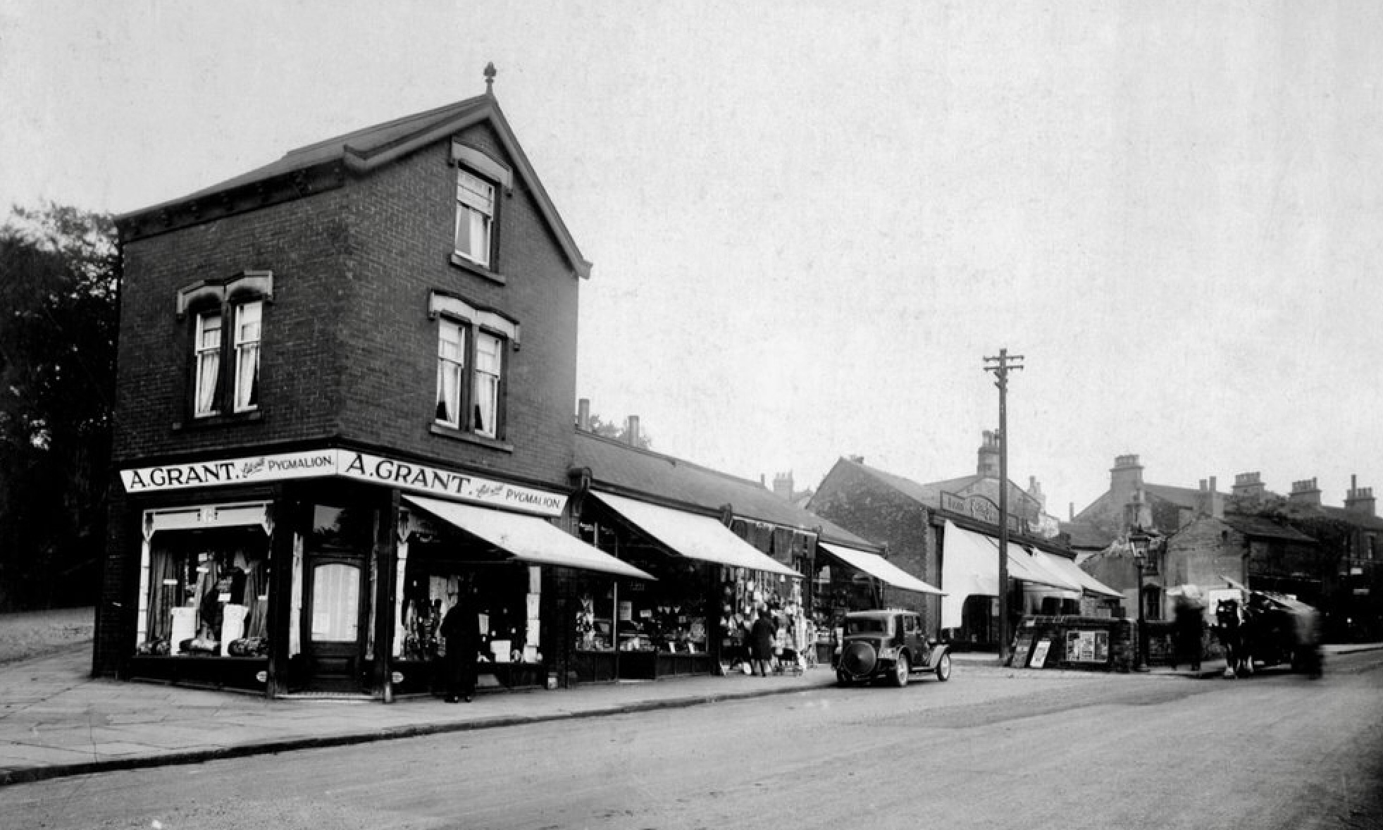
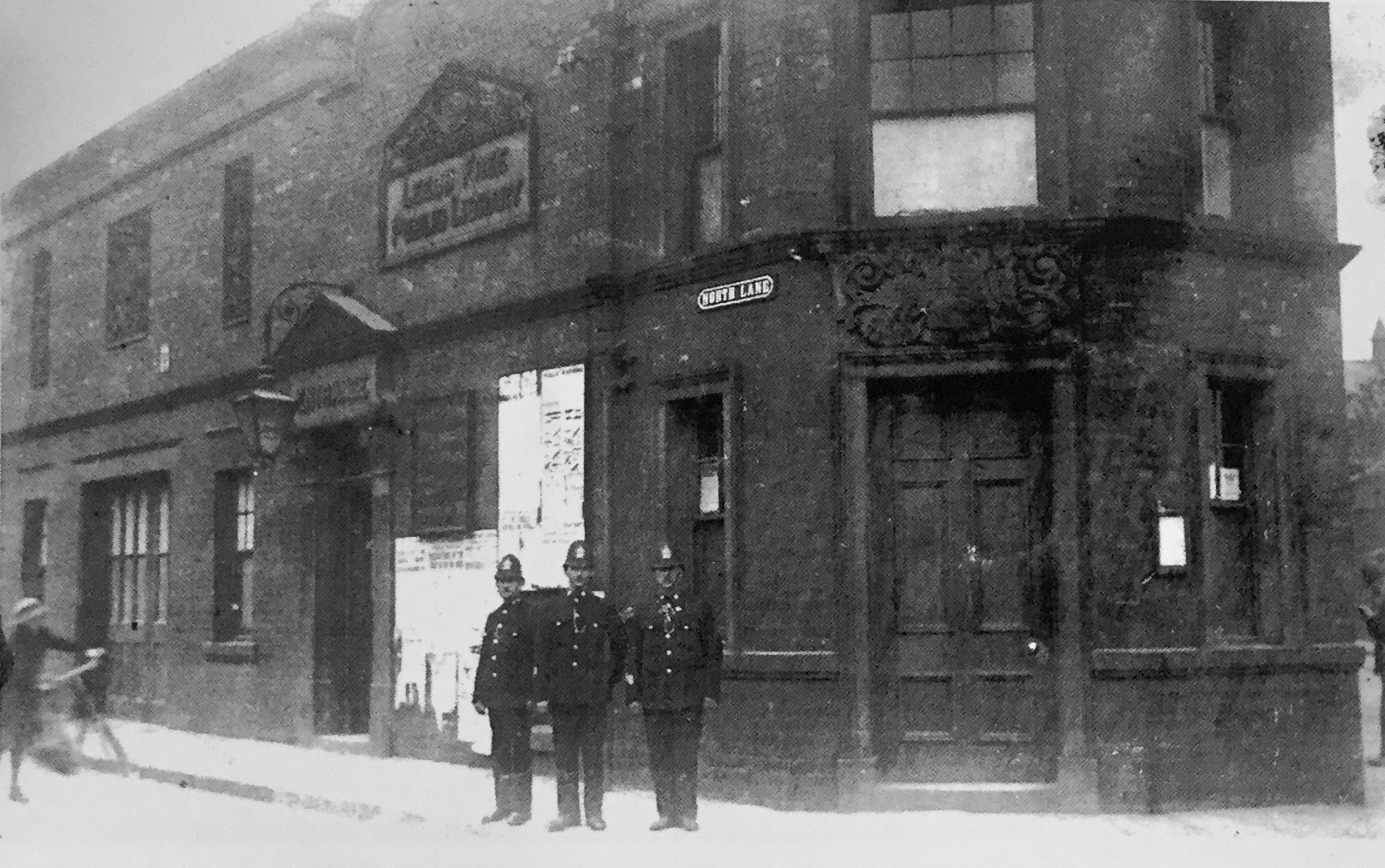
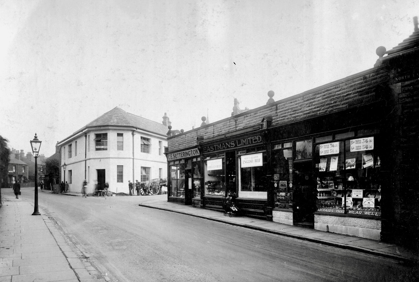
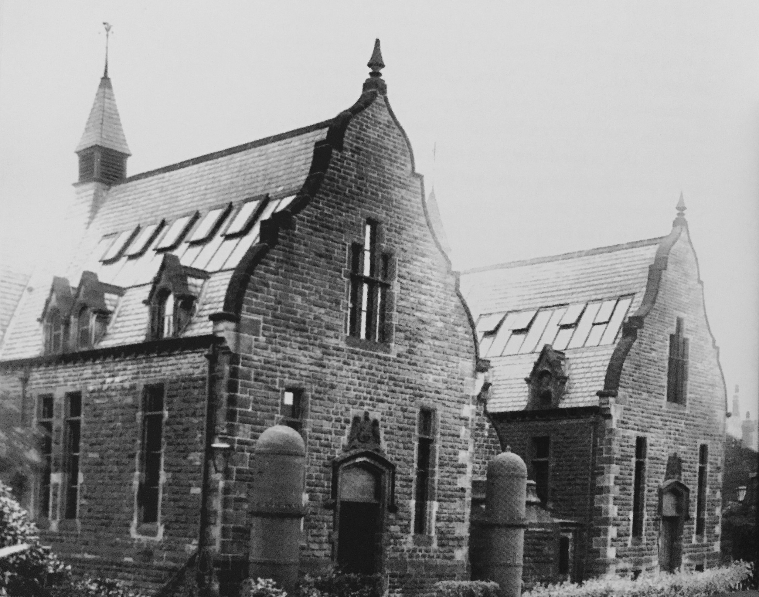
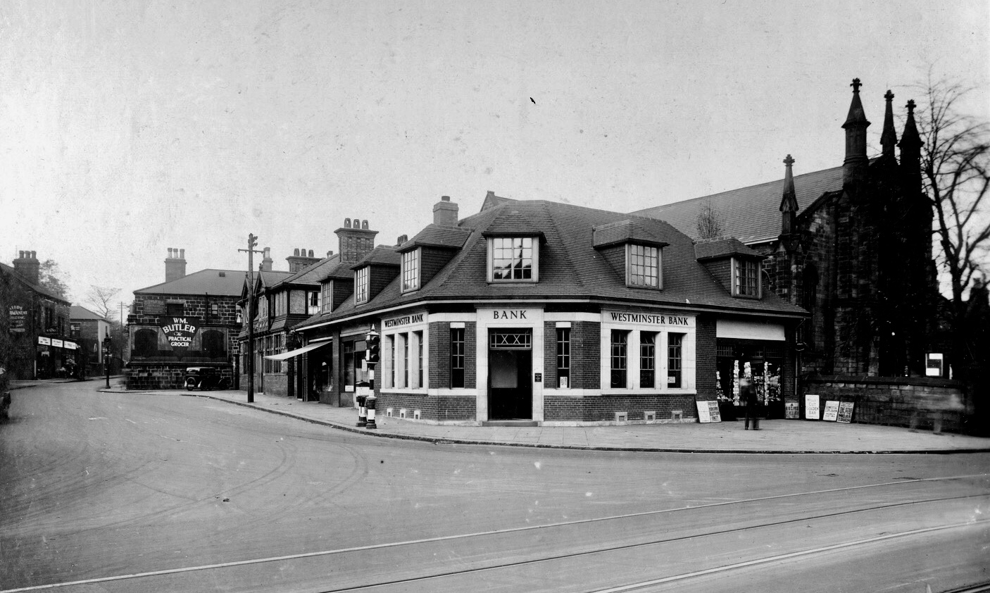
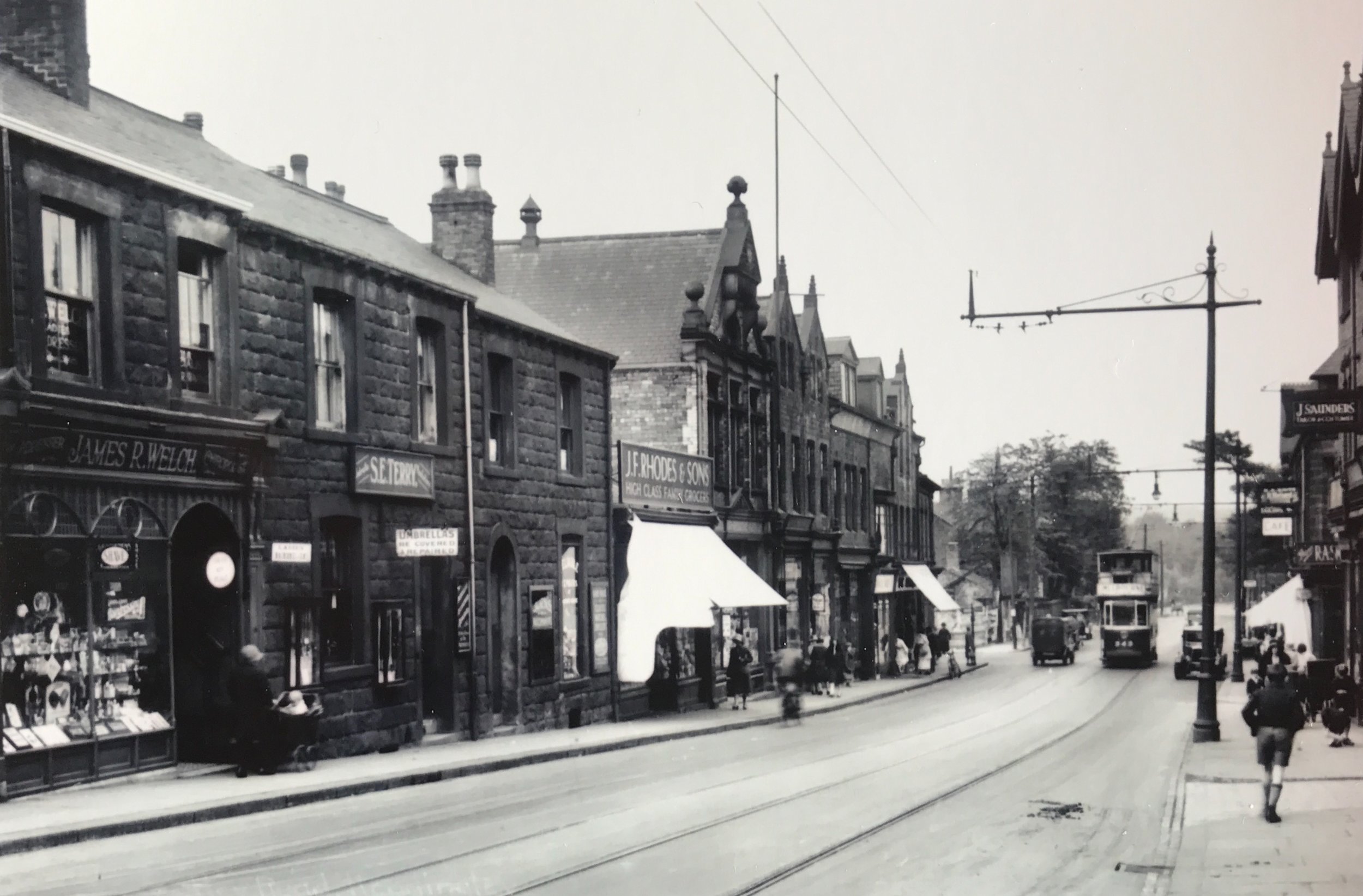
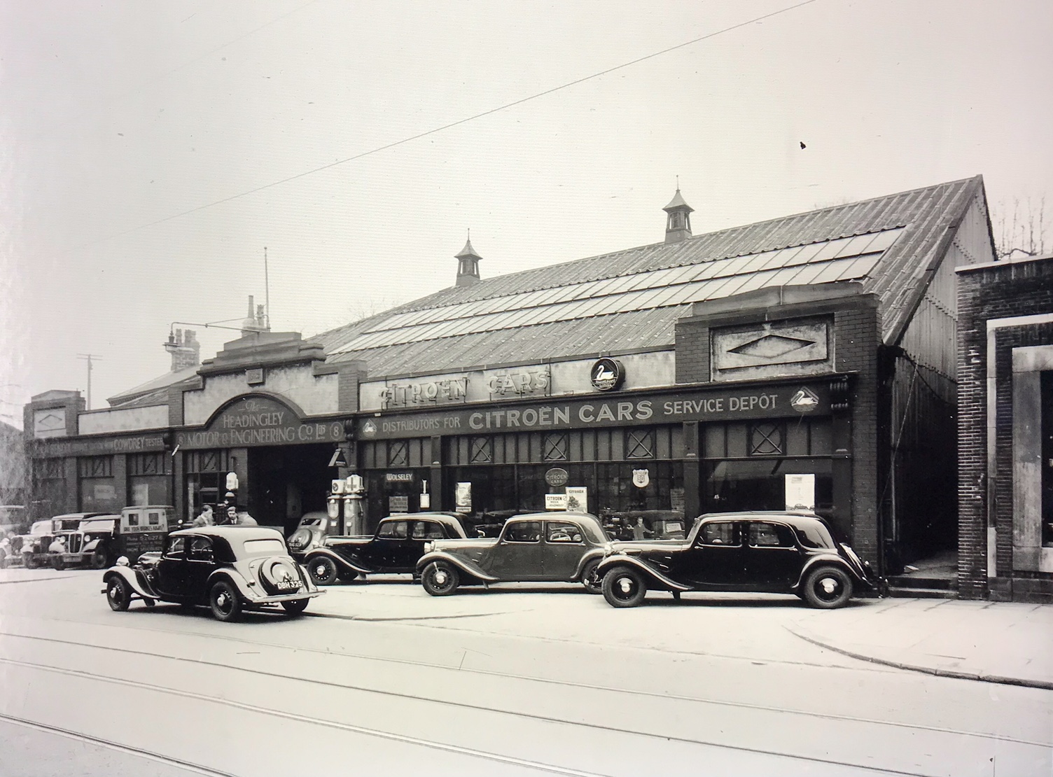
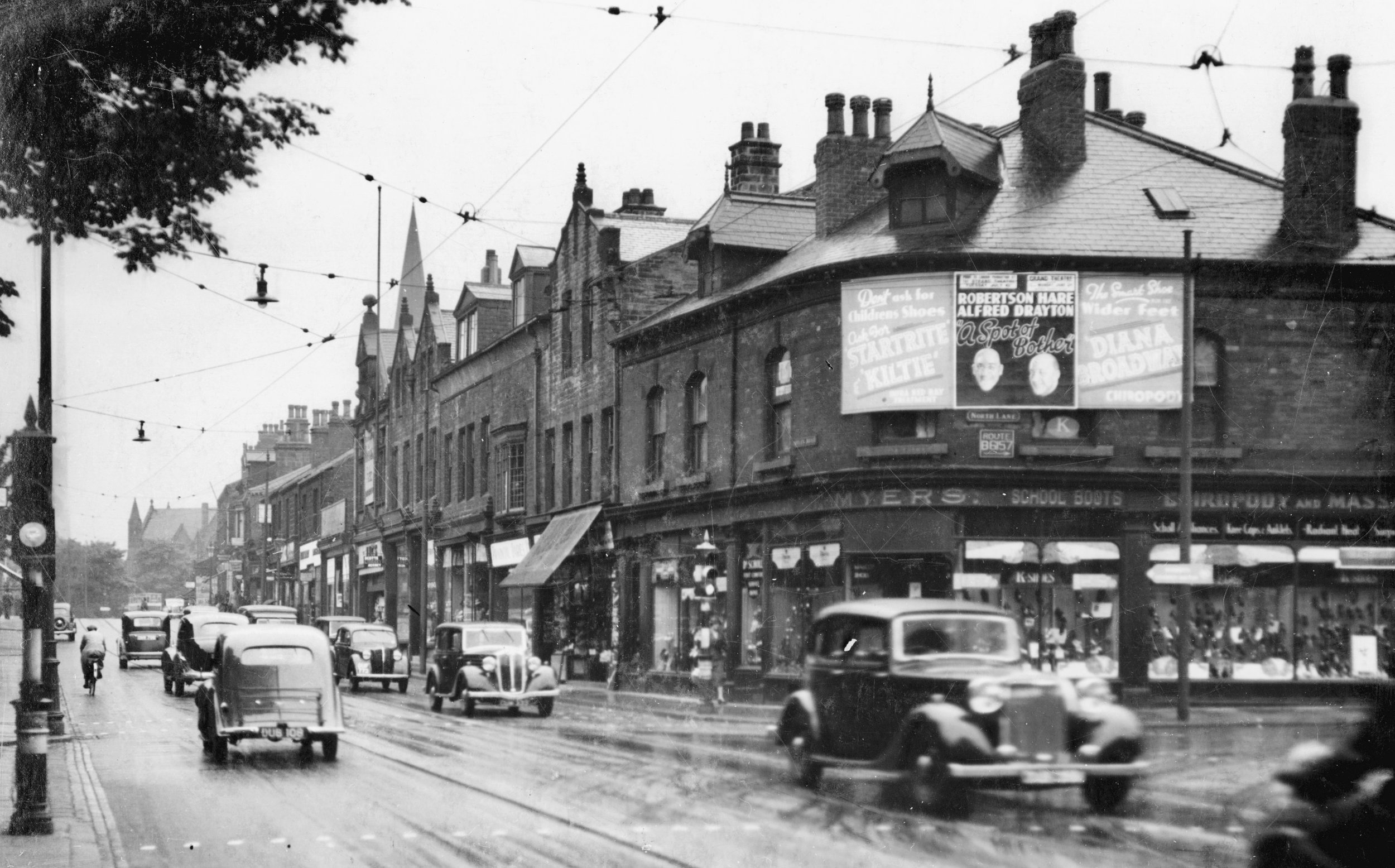
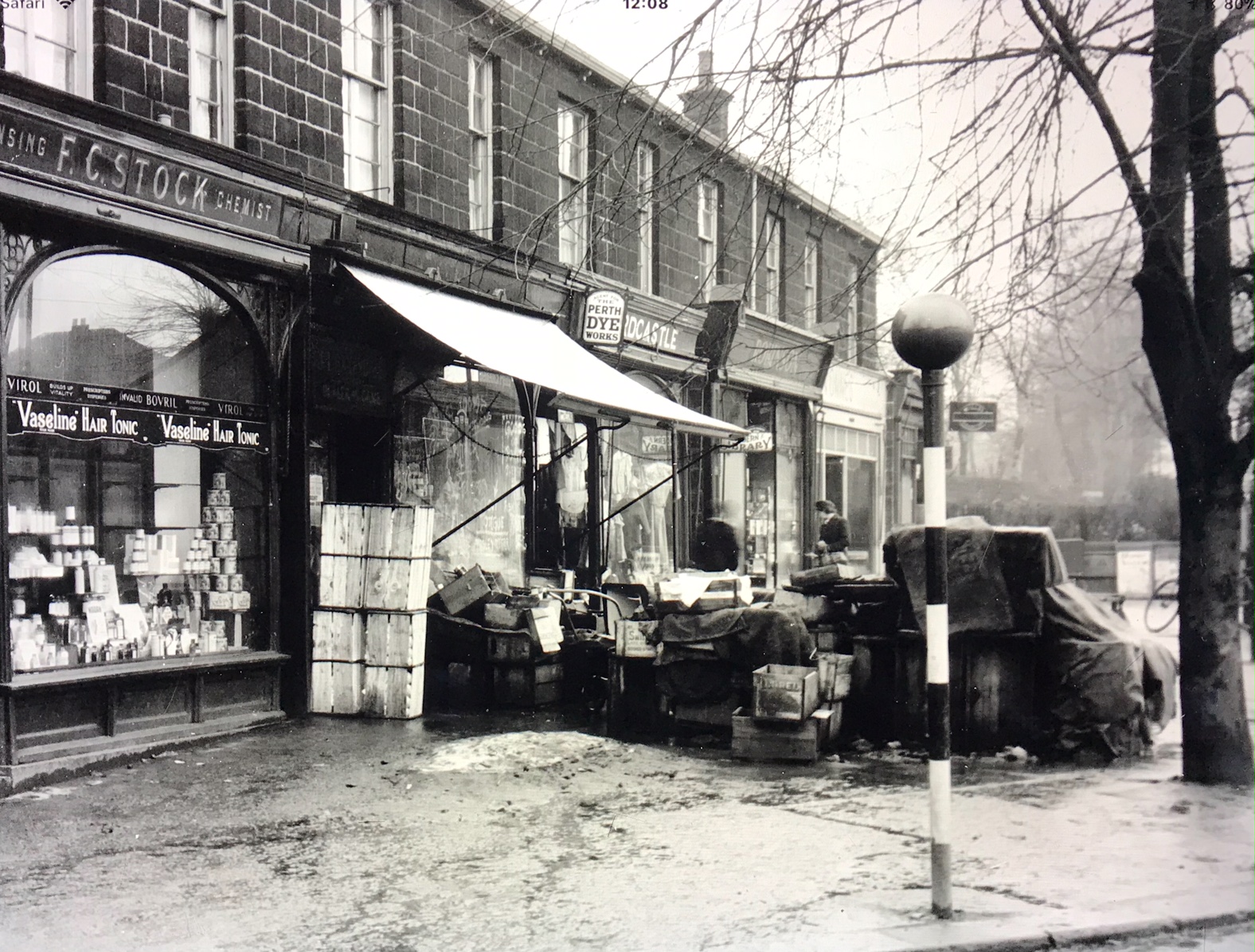
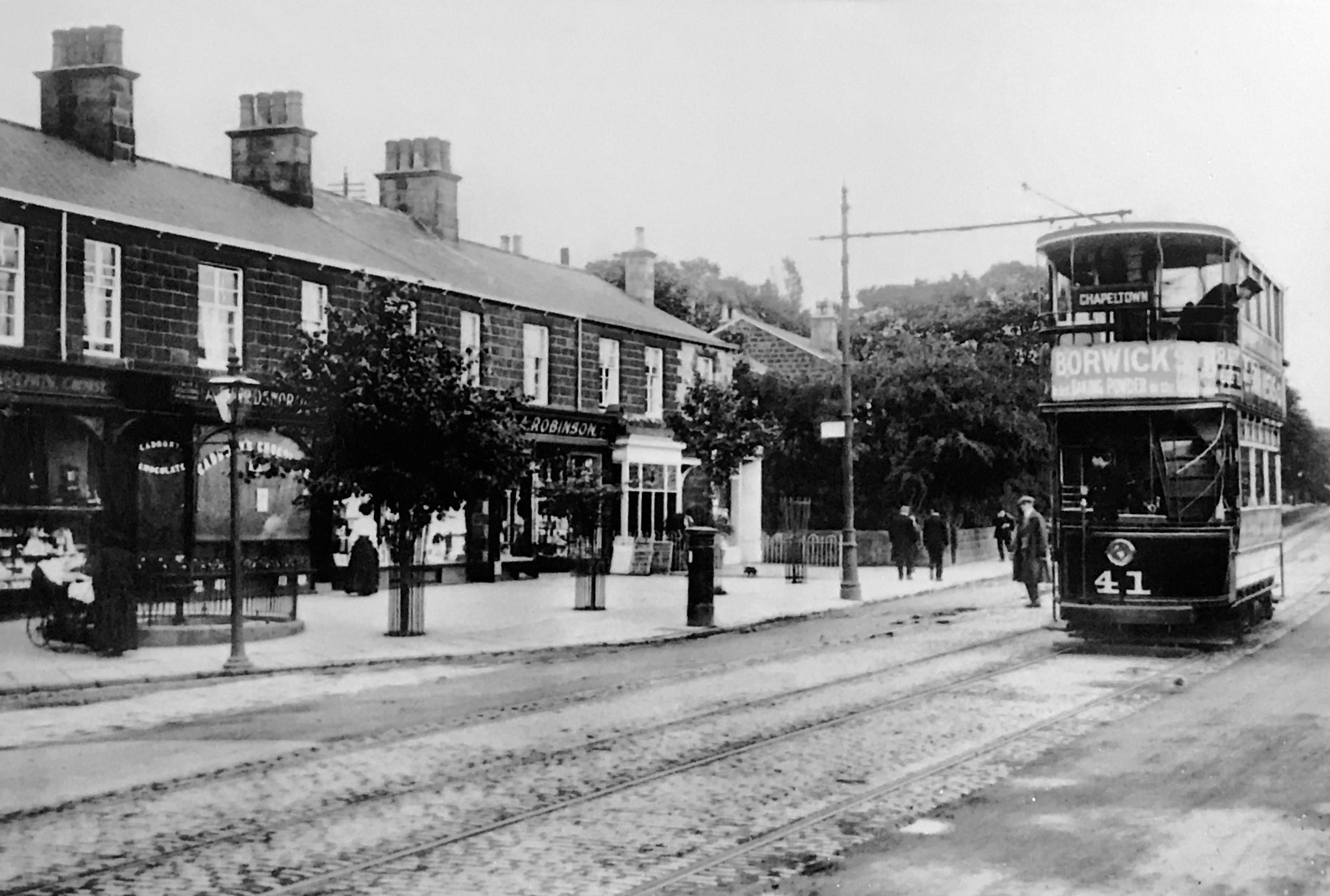
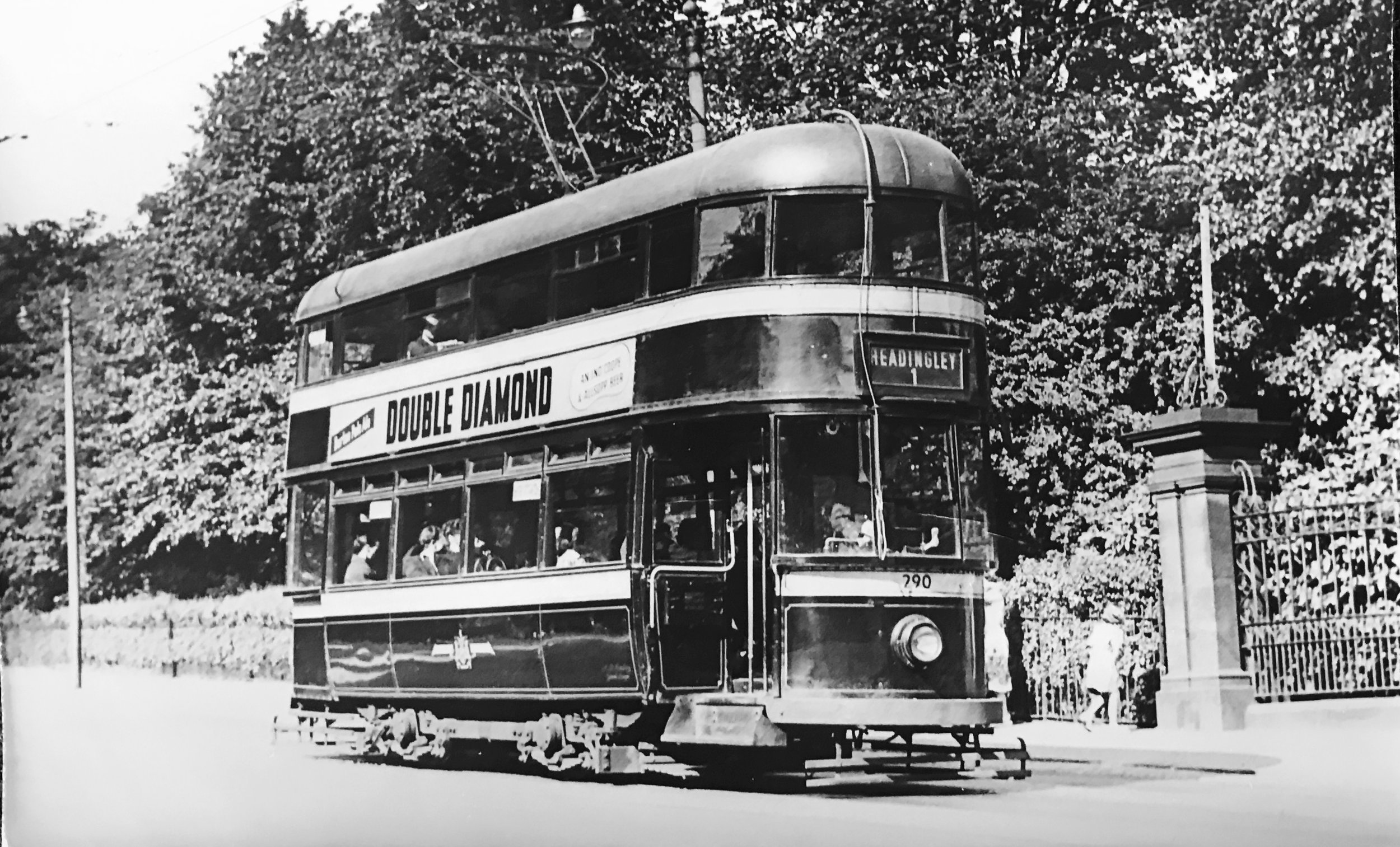
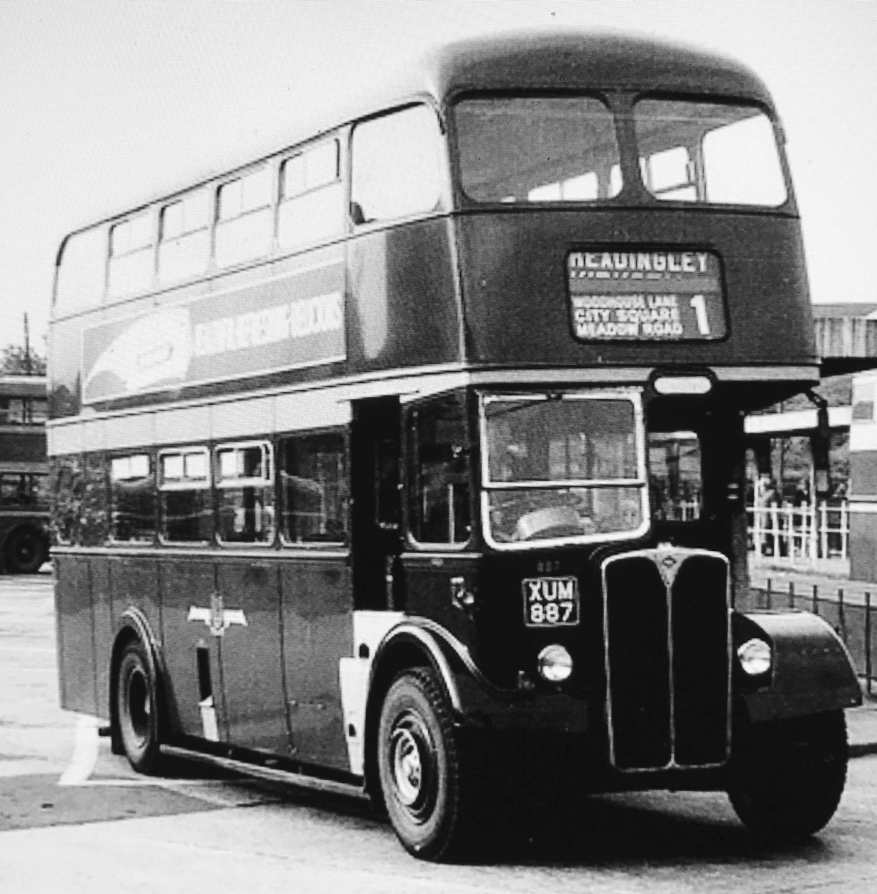
Headingley village was founded long ago, in a saddle on the ridge between the River Aire and Meanwood Beck. Its history has been marked by Anglo-Saxons, Vikings, Normans, monks and later landowners. It was centred on the village green, surrounded by the Shire Oak, the manor hall, the church, the school and the two pubs. The Victorians made Headingley into a suburb of Leeds, with the first bus service, adding fine villas and stone terraces, and later brick terraces (the spaces they left were later filled by semis), and they opened shops along Otley Road and later along North Lane. And at the end of the Lane, they built a stadium, which has made Headingley world-famous.
For more info on the suburb and its surroundings, see the headline History of Headingley. For a wonderfully informative account, read Eveleigh Bradford, Headingley: this pleasant rural village, Northern Heritage (2008).
Photographs by kind permission of Leeds Library and Information Service, The Thoresby Society, Leeds Historical Society, Leeds University Library Special Collections: Godfrey Bingley Collection, Francis Frith and Company, Leeds Civic Trust, Eveleigh Bradford, and Helen Pickering.
Some photographs are subject to copyright and should not be reproduced without the owner's permission.
Every effort has been made to trace and contact all copyright holders. We would be pleased to rectify at the earliest opportunity any omissions or errors brought to our notice.
For photographs of area now, go to the Headingley Centre gallery.
