
Historic South Headingley
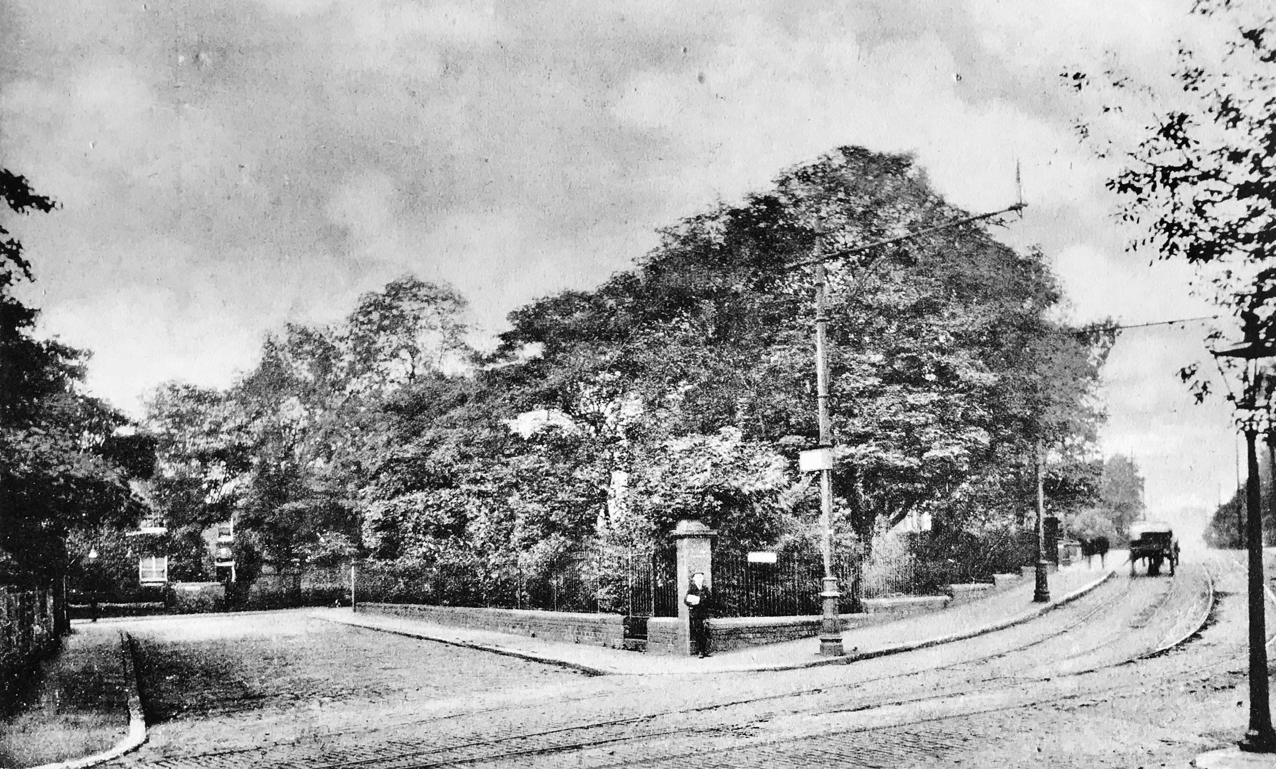


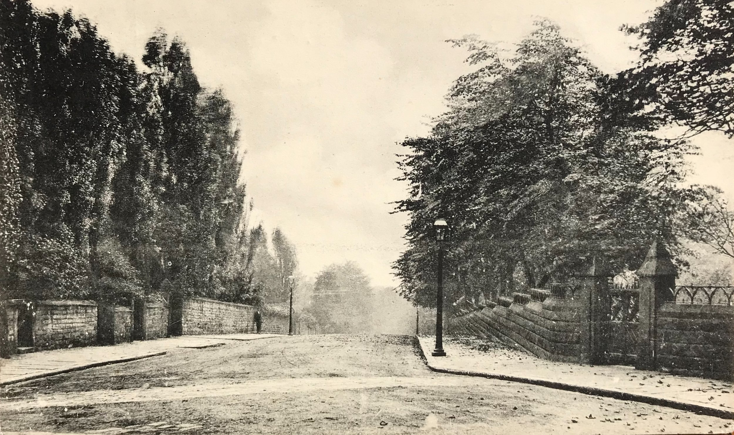
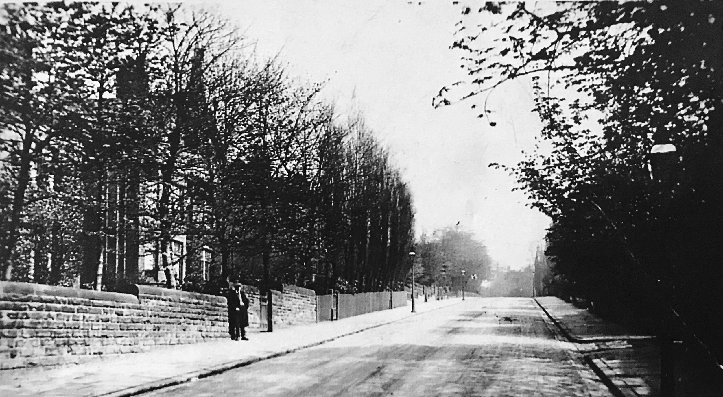


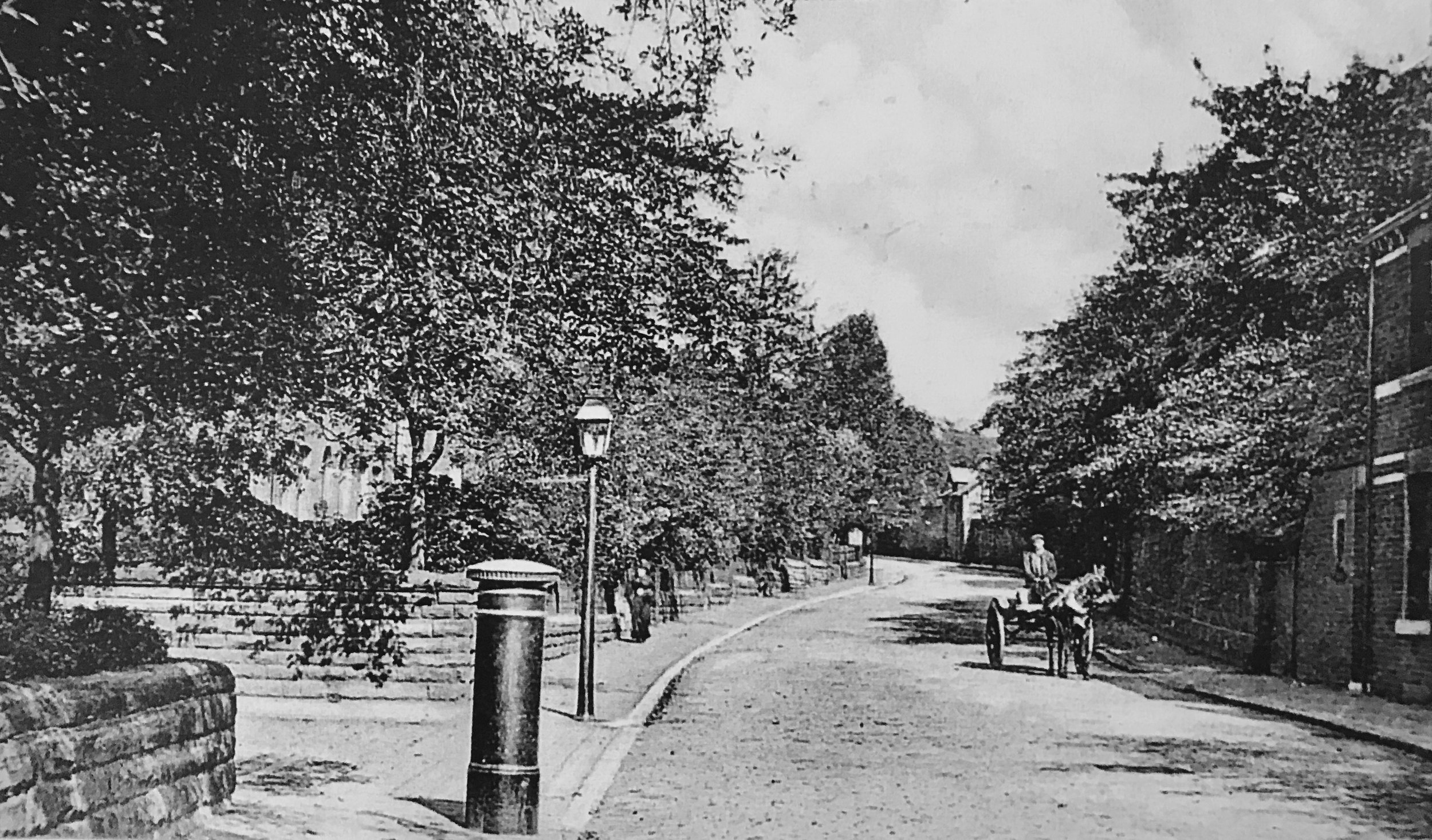

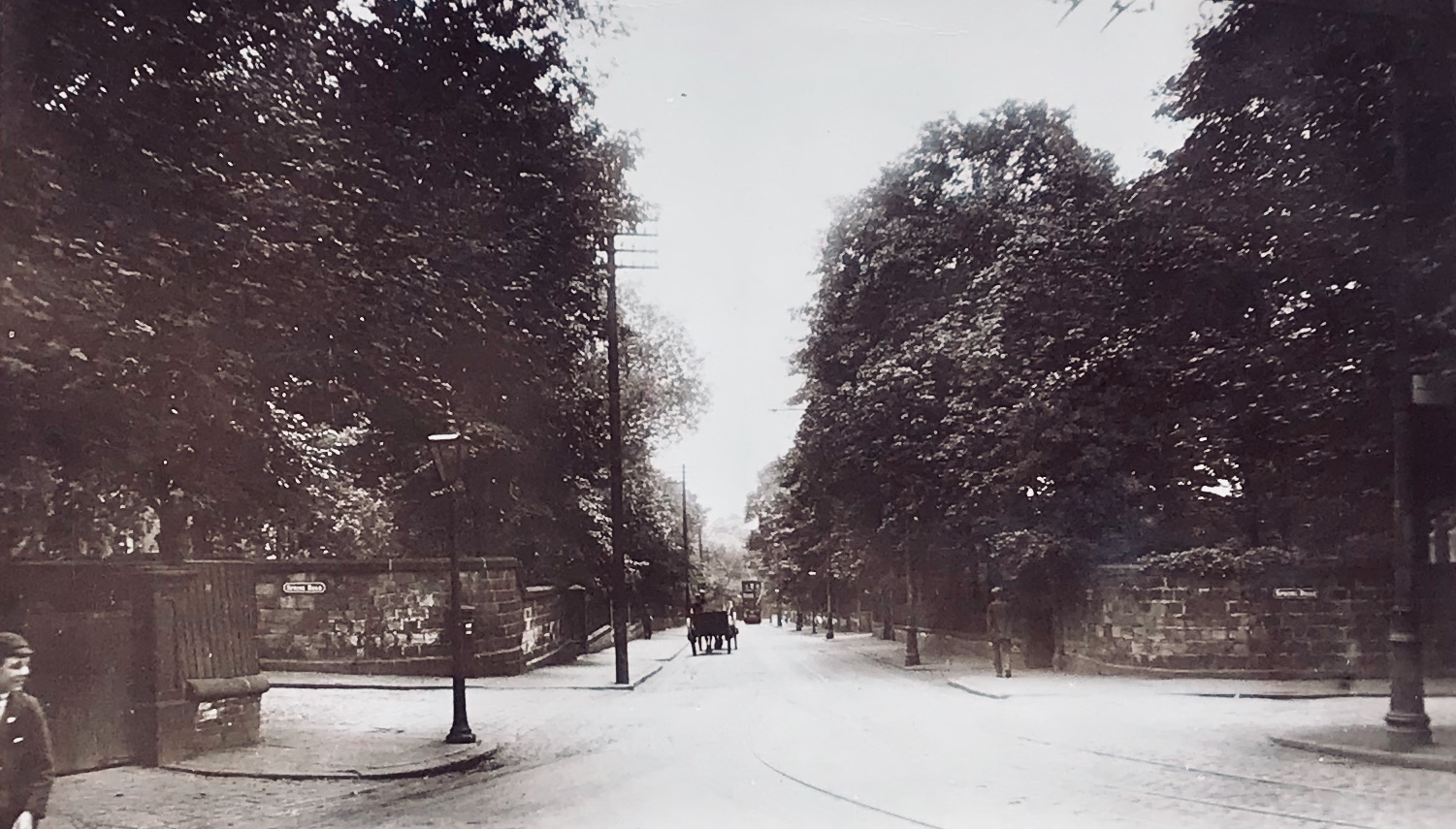
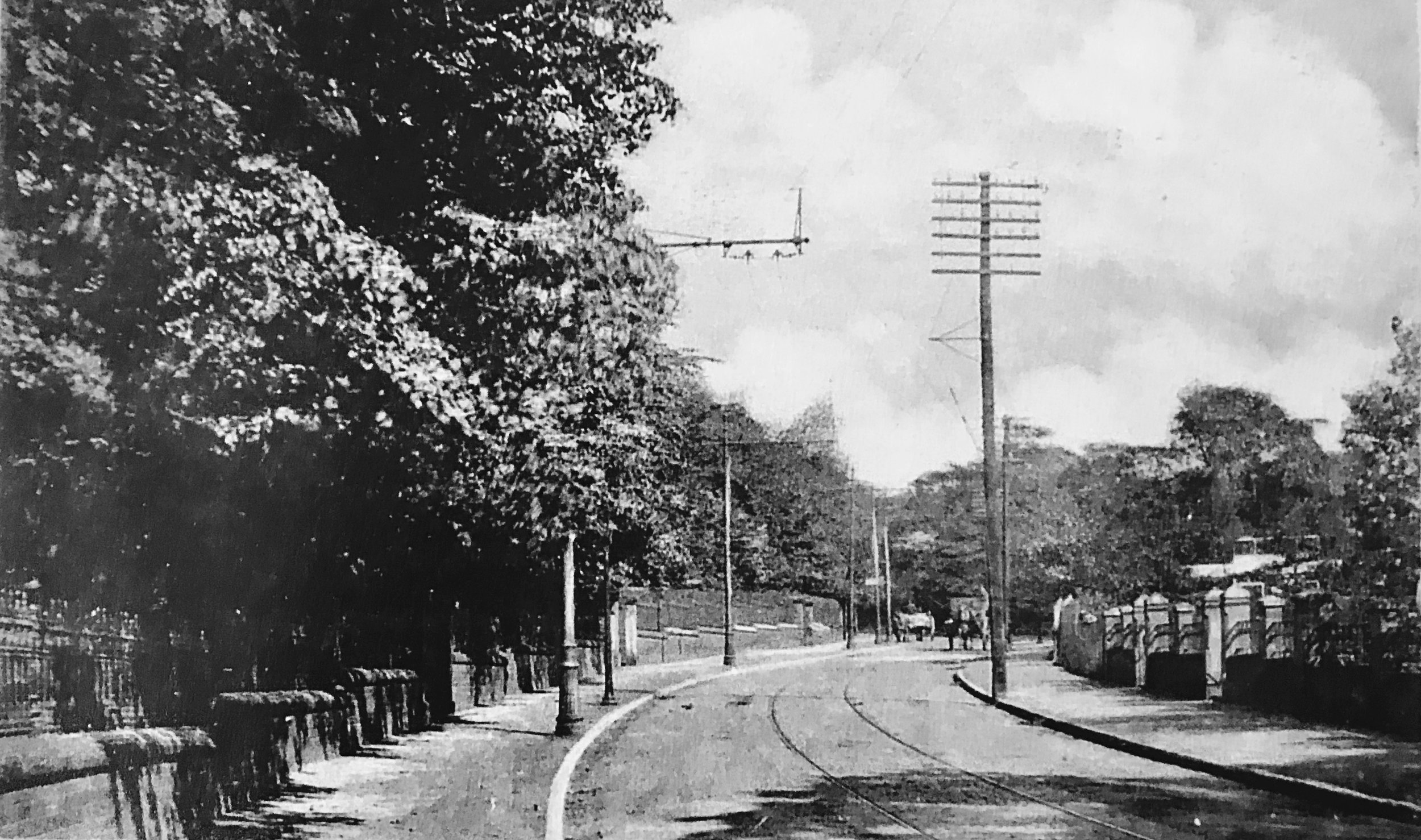
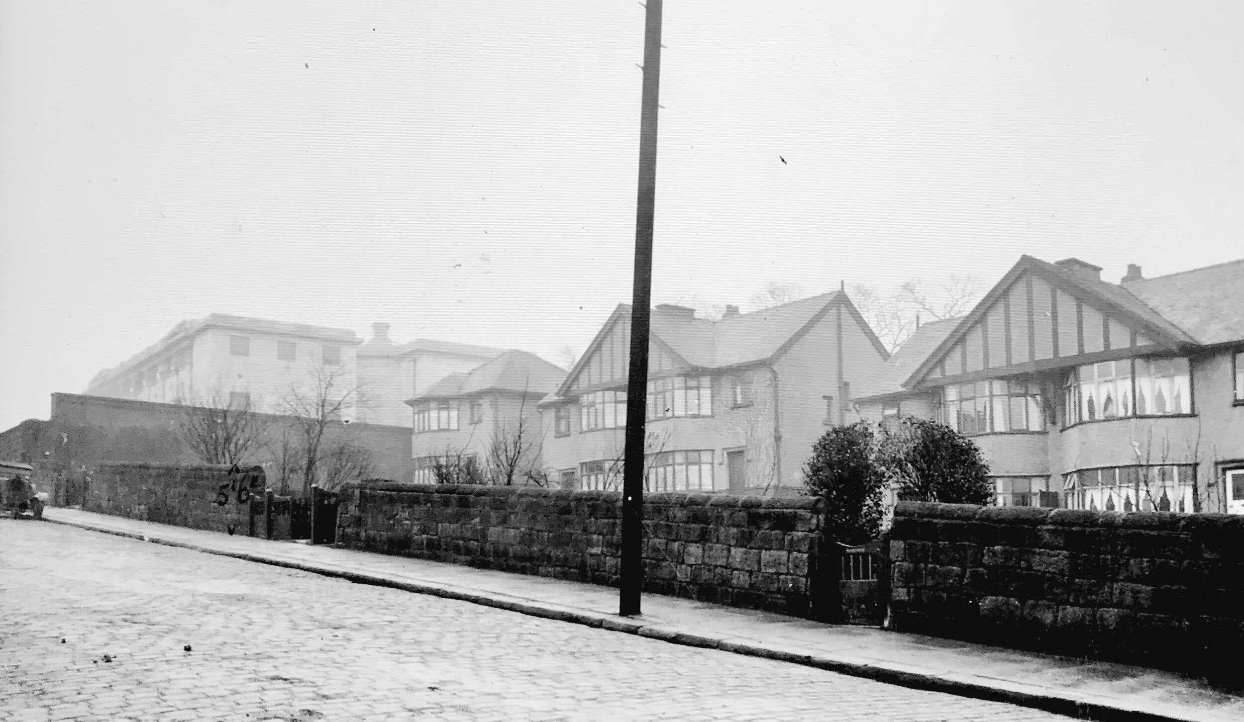

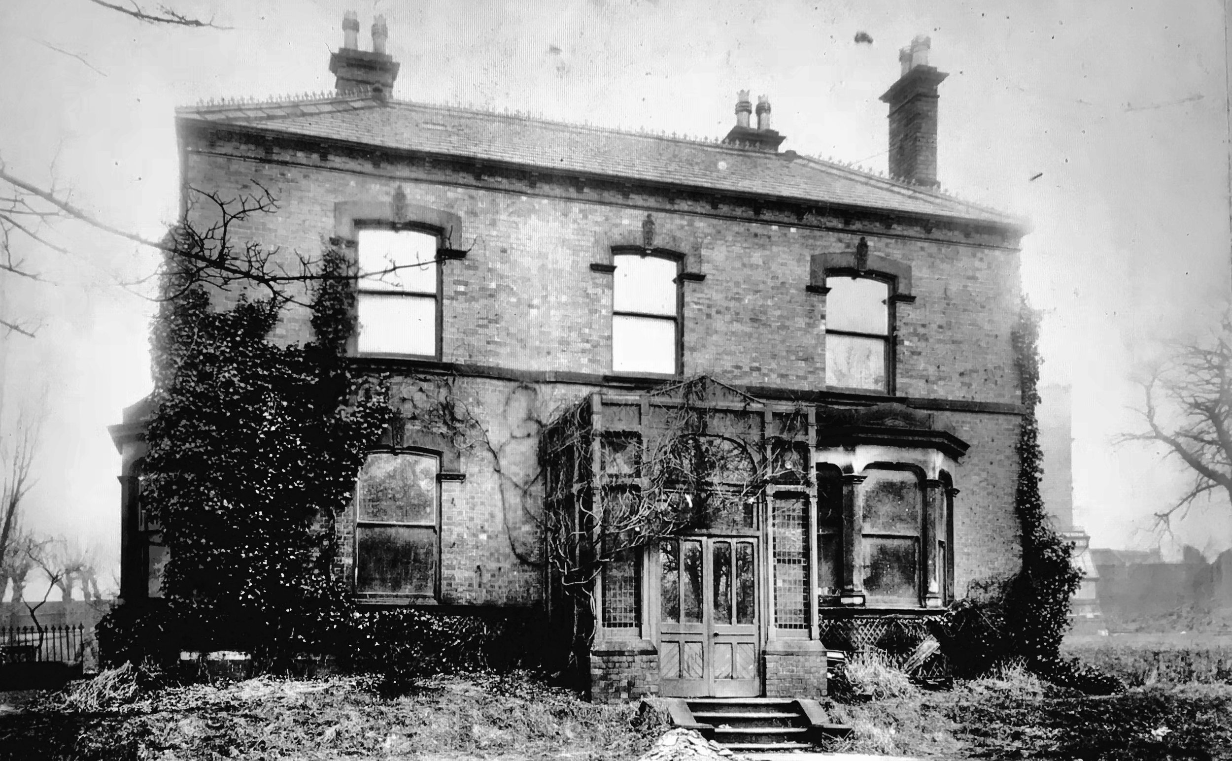
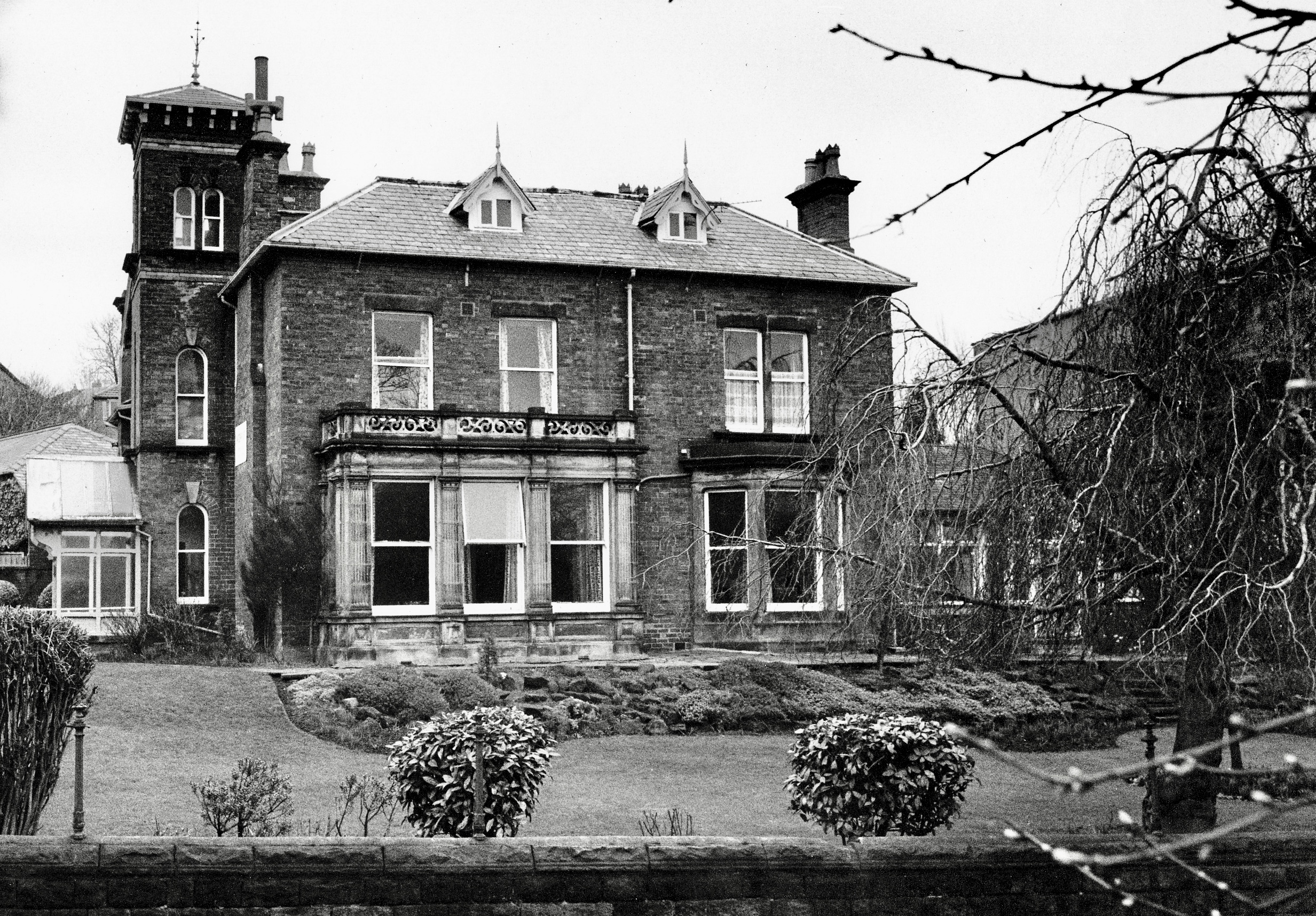
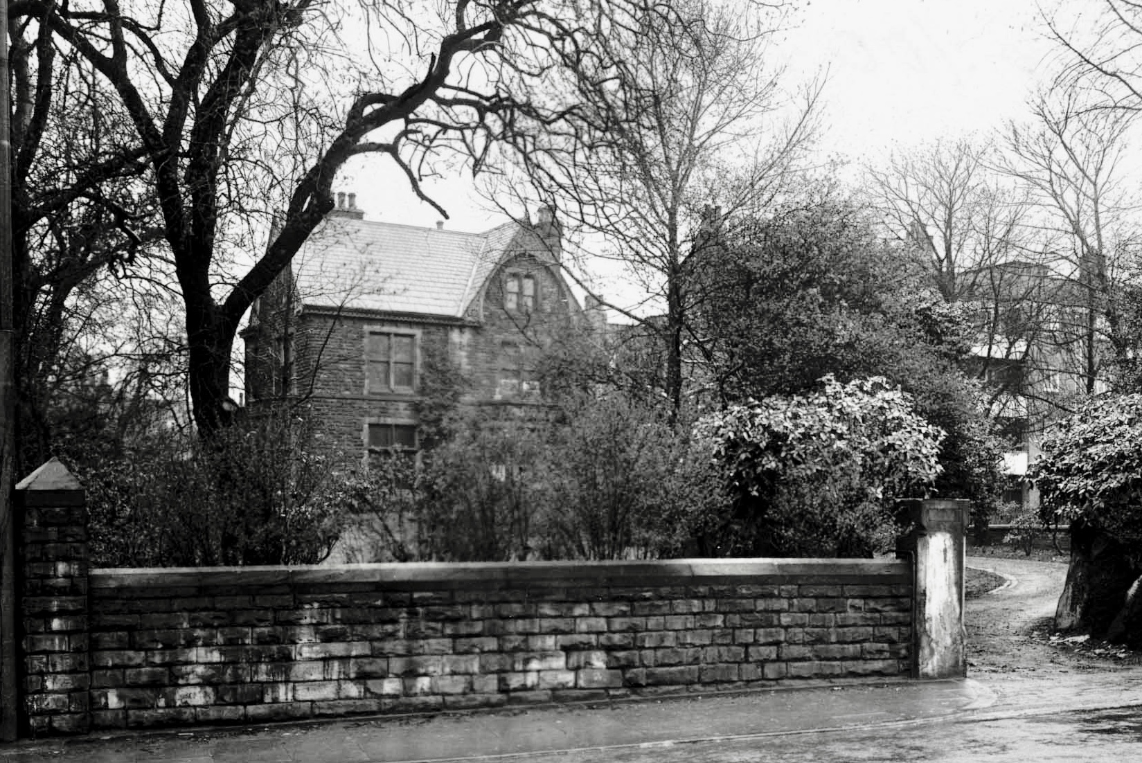
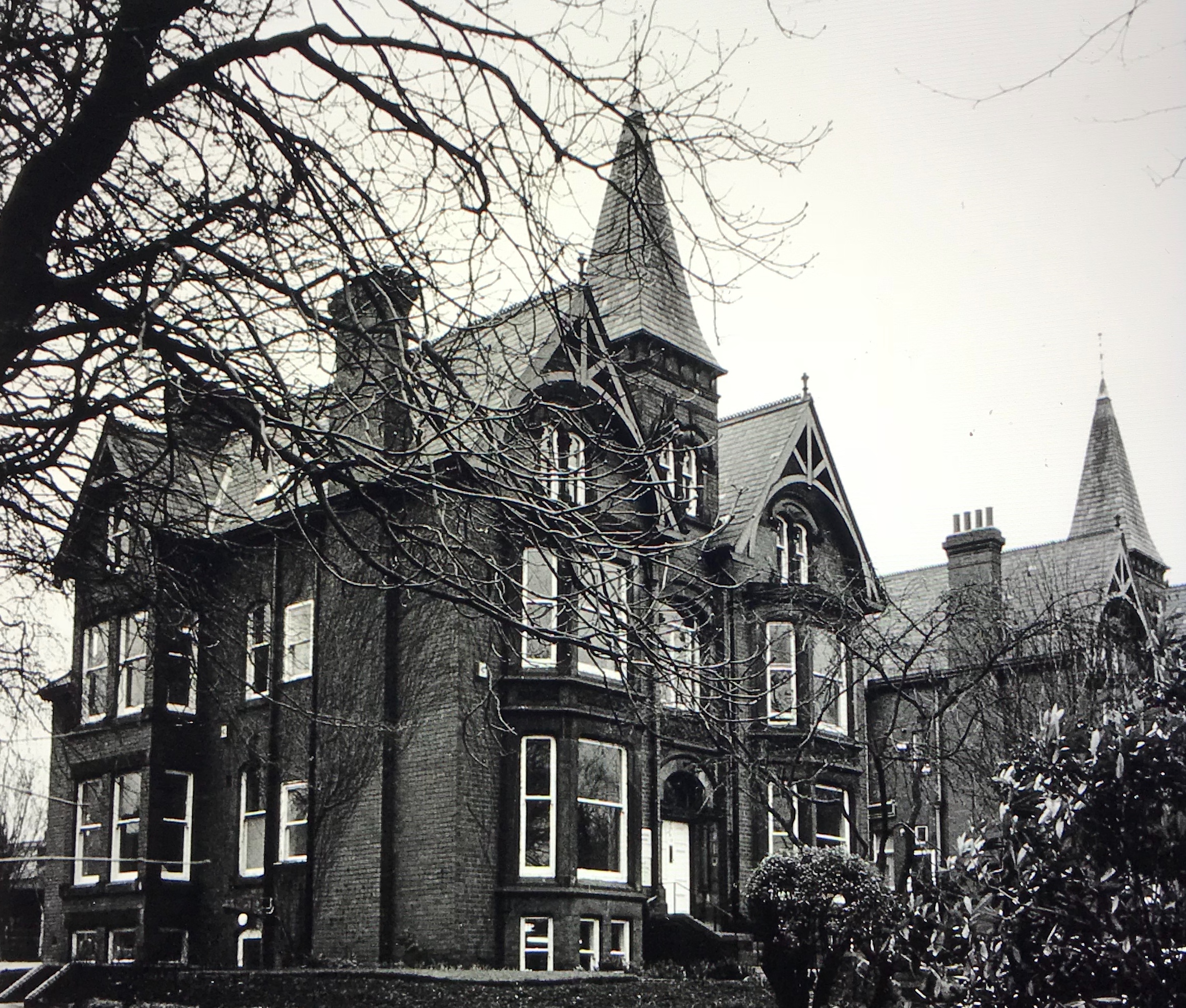

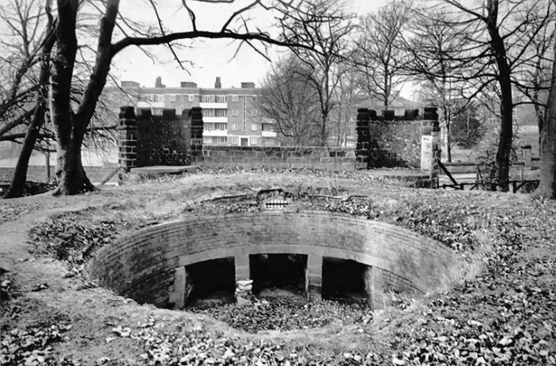
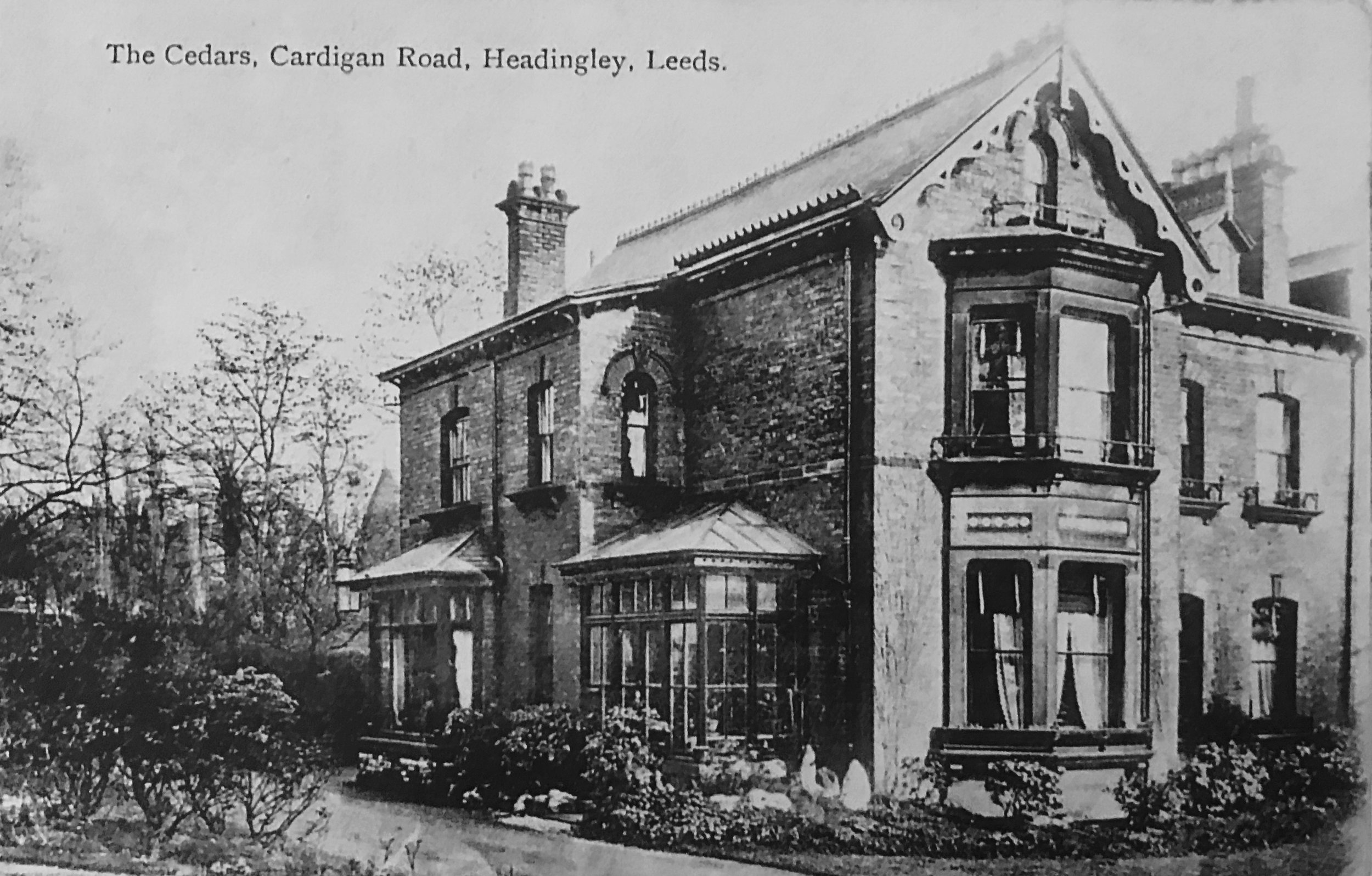
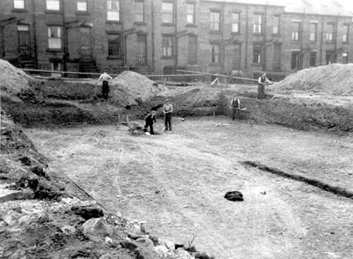


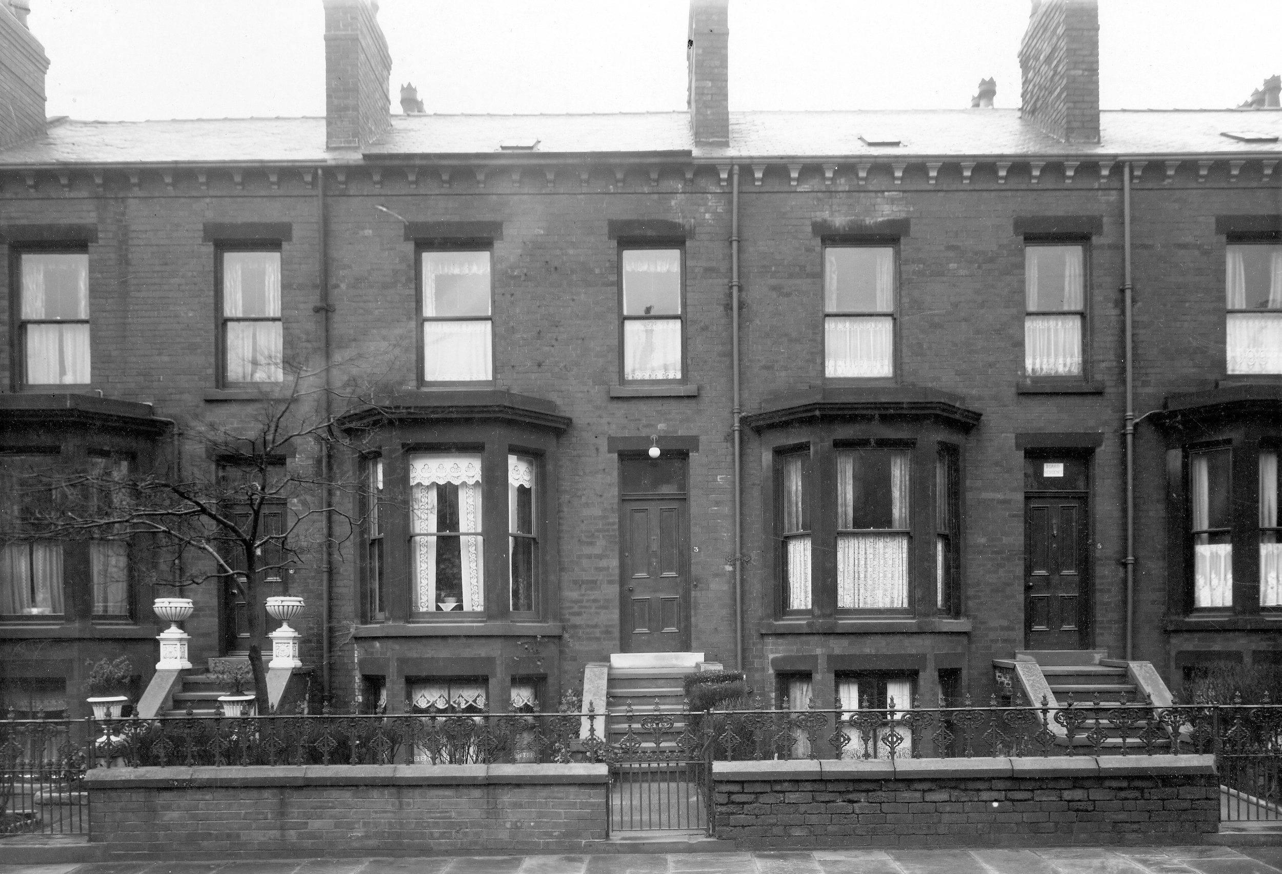

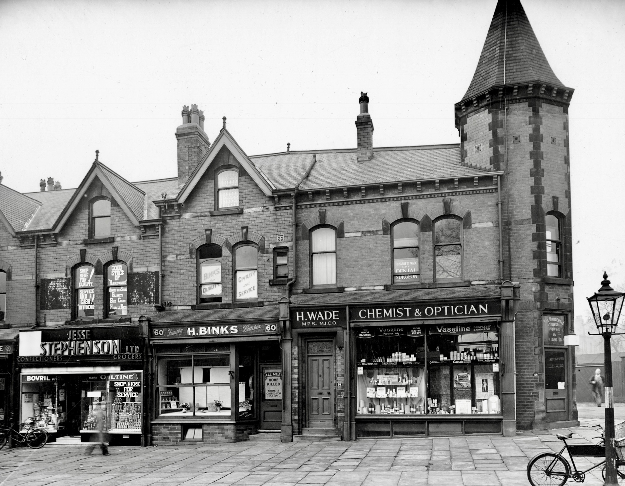
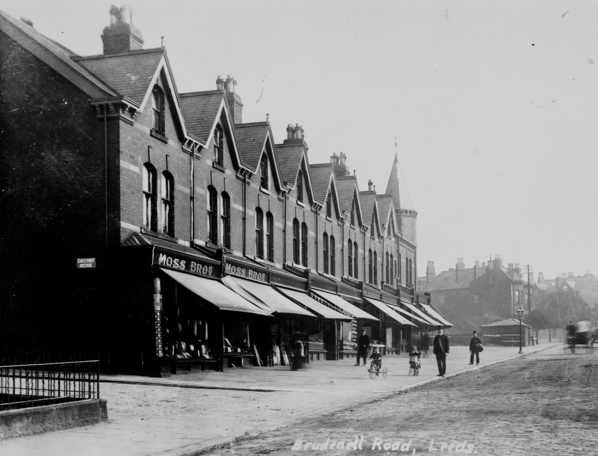
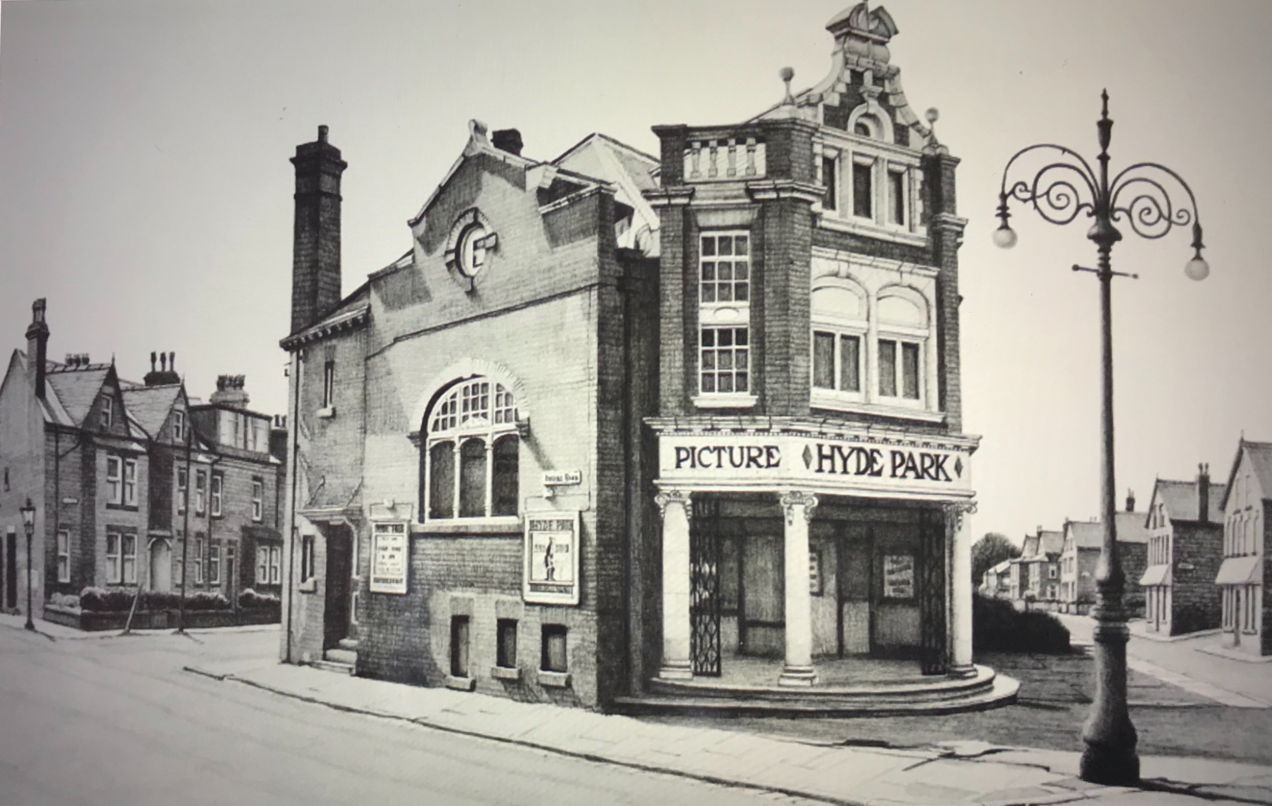


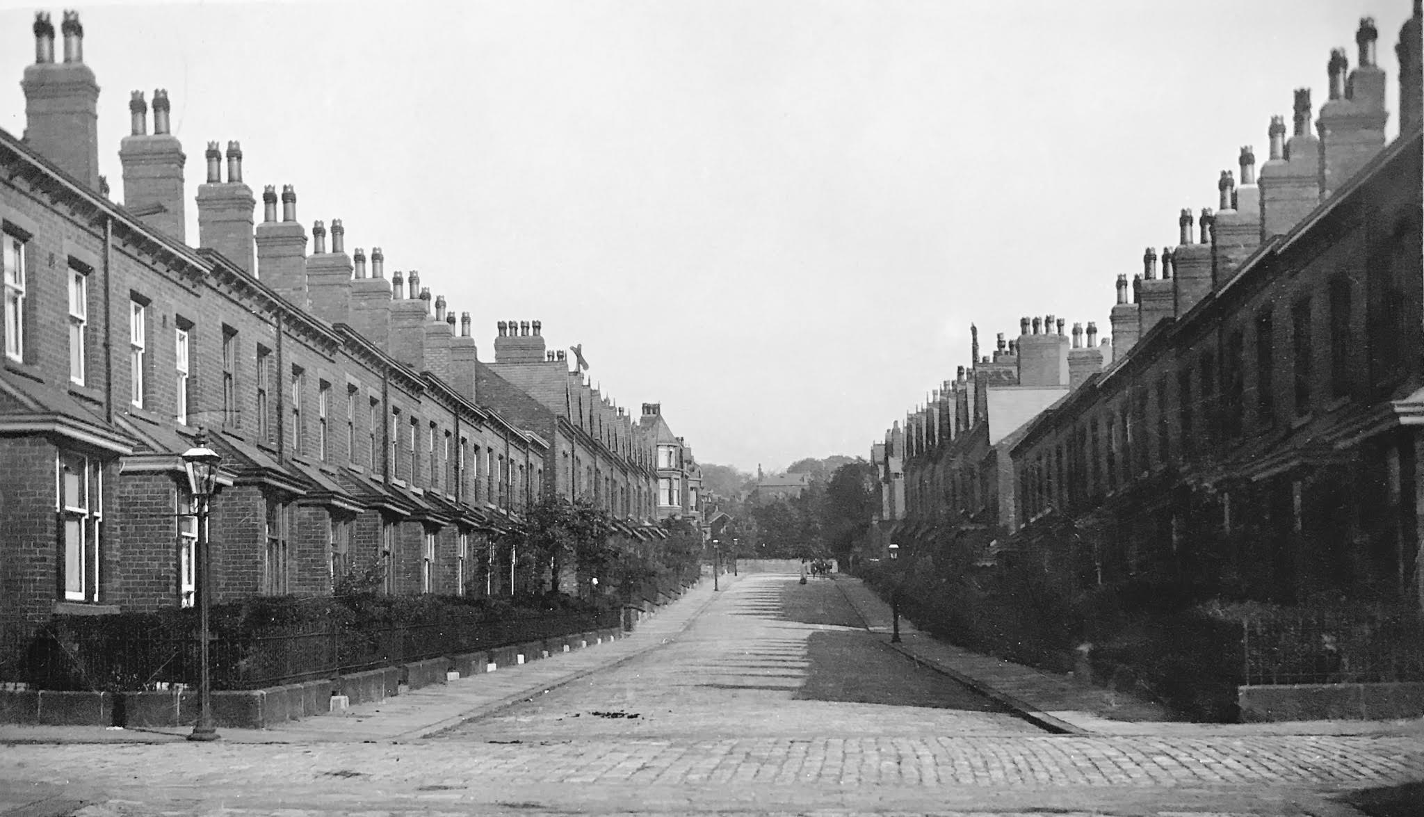

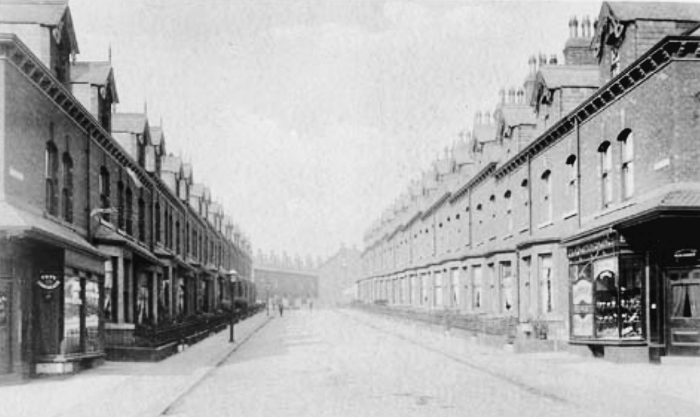
Until the Victorians, South Headingley was farmland, belonging to Kirkstall Abbey in the middle ages, and by the eighteenth century, in the hands of the Brudenell family, Earls of Cardigan (their names survive in local street names). The Victorian’s first intervention was to turn fields into parks, first along Chapel Lane (the Zoological & Botanical Gardens) and then beside Woodhouse Moor (initially a cricket ground, then Royal Park; again the name survives in local streets). By the end of the century, they had developed houses and brick terraces in most of the fields (effectively fossilising the field boundaries). The spaces they left were later filled by semis.
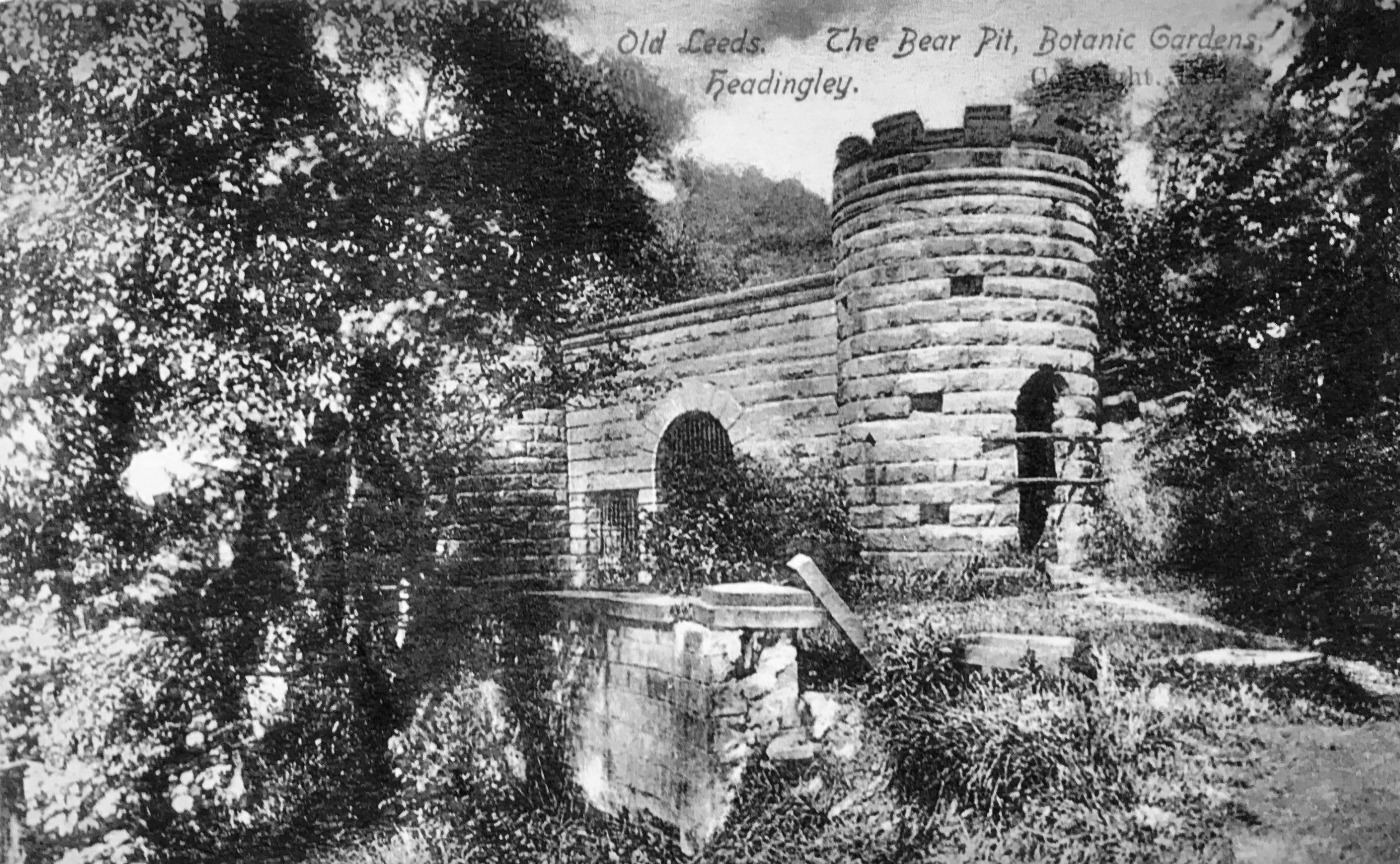
For a brief general description of the area, go to South Headingley and Cardigan Triangle; see also, Listed Buildings in South Headingley and Cardigan Triangle. See also Headingley Zoo.
Photographs by kind permission of Leeds Library and Information Service, Yorkshire Evening Post and Helen Pickering.
Some photographs are subject to copyright and should not be reproduced without the owner's permission. Every effort has been made to trace and contact all copyright holders. We would be pleased to rectify at the earliest opportunity any omissions or errors brought to our notice.
Thanks to Malcolm Hindes for advice on transport.
For views of the area now, see South Headingley Gallery.
For photos of other areas in the past, go to Historic Headingley
