Thoresby’s ‘Hedingley’
Frontispiece: George Vertue, Ralph Thoresby, Engraving, 1712
Late 17 century with 19 and 20 century alterations; Grade II Listed Building 1255687
The last of Headda's people's fields
in front of Parish Hall (formerly Town School, 1844)
More info here
© Leeds Library & Information Service
Detail of Joseph Dickinson, A Map of the Lands of the Earl of Cardigan in his Mannor of Hedingley, 1711
Early 18 century with mid 19 century alterations; Grade II Listed Building 1255963
18 century, but much modified
Late 18 century; Grade II LIsted Building 1255960
Early 18 century (at least)
Rear wing 17 century (with early C19 and mid C20 alterations), front range a late 18 century Methodist chapel (converted c1845); Grade II Listed Building 1375040
Possibly 18 century; Grade II Listed Building 1375244
18 century, refurbished and altered c1993; Grade II Listed Buildings 1375307
Rebuilt 18 century; now Corson Court, off Shire Oak Road
Now a ginnel between Ash Avenue and St Anne's Road, more info here.
Now a ginnel beside Headingley Stadium, more info here.
Now Holly Dene; late 18 century with early 19 century addition; Grade II Listed Building 1375296
Now a ginnel from Monk Bridge Road to Tannery Park, more info here.
Now a ginnel from Moor Road to Hollin Drive, more info here.
Now Hollin Lane, continued as a ginnel down to Hollin Drive, more info here.
Inscription reproduced from original doorway, 1626
Detail of John Tuke, A Map of the Parish or Borough of Leeds, 1781
17 century with mid 19 century alterations and 1988 conversion; Grade II Listed Building 1255715
Now in The Hollies, more info here
1625, extended late C18, 1887, 1926; restored and extended 1992; Grade II* Listed Building 1375330
Now a ginnel between Bardon Grange and Weetwood Villa (later The Elms and then Oxley Hall), now comprising the Oxley Residences of the University of Leeds; more info here.
Now Hollin Lane, continued as a ginnel between 31 and 33 Hollin Drive, more info here.
Now a ginnel from Moor Road to Hollin Drive, more info here
The bridge now leads to Meanwood Park
More info here
climbing the Ridge (up Cardboard Hill); more info here
Early 18 century with late 18 century abutment; Grade II Listed Building 1375169
Now a ginnel between Cumberland Road and Grosvenor Road; more info here
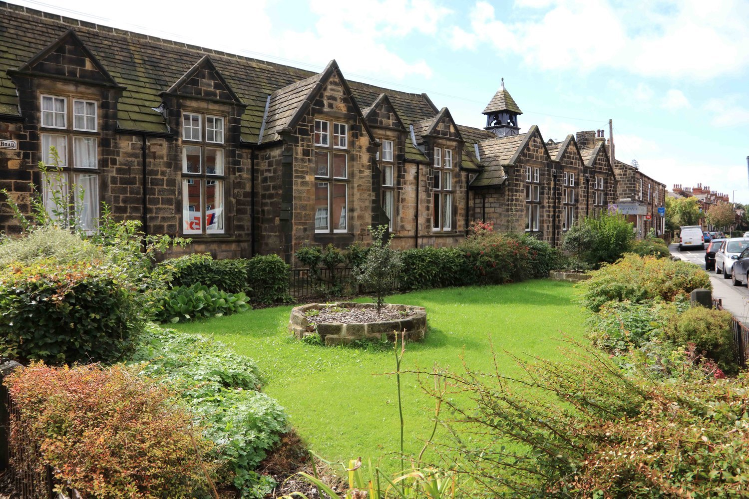
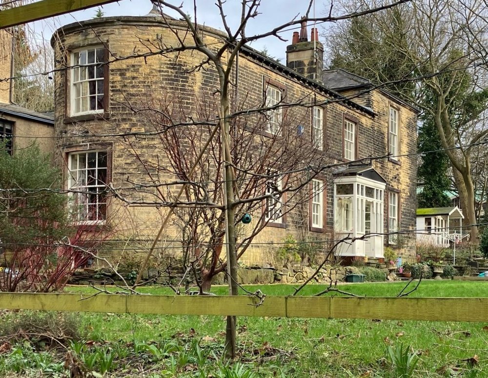
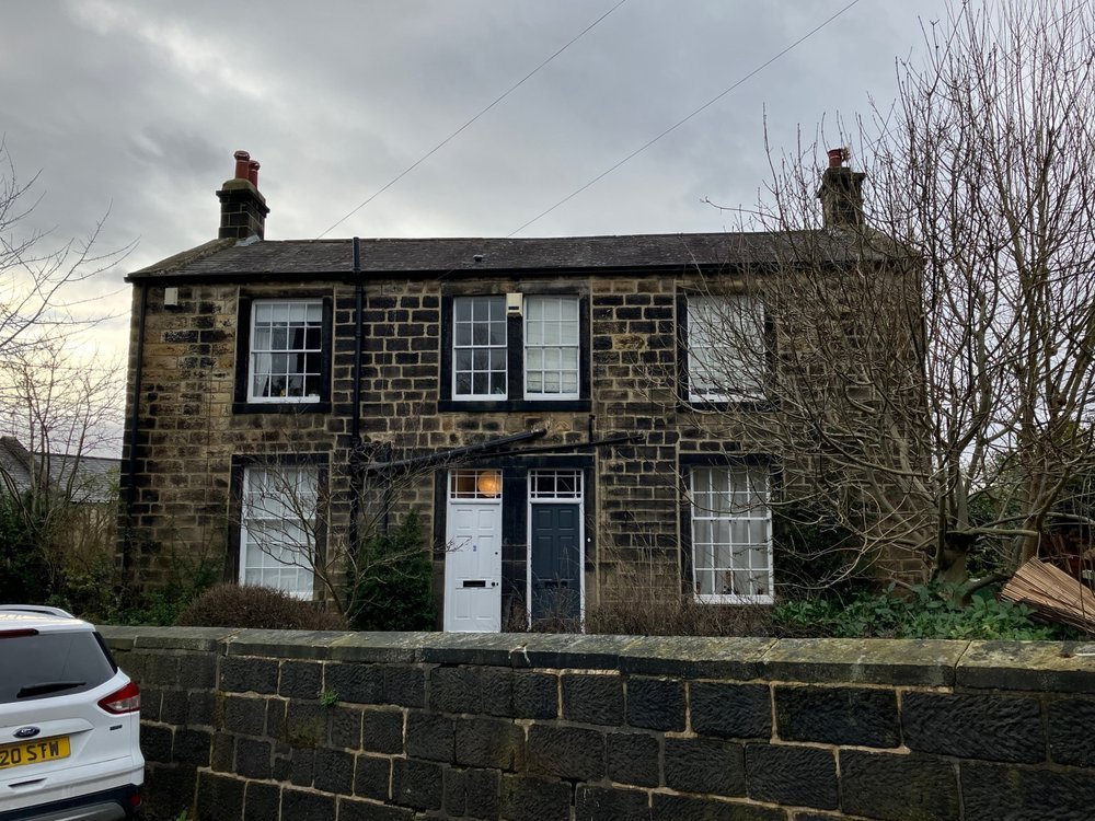
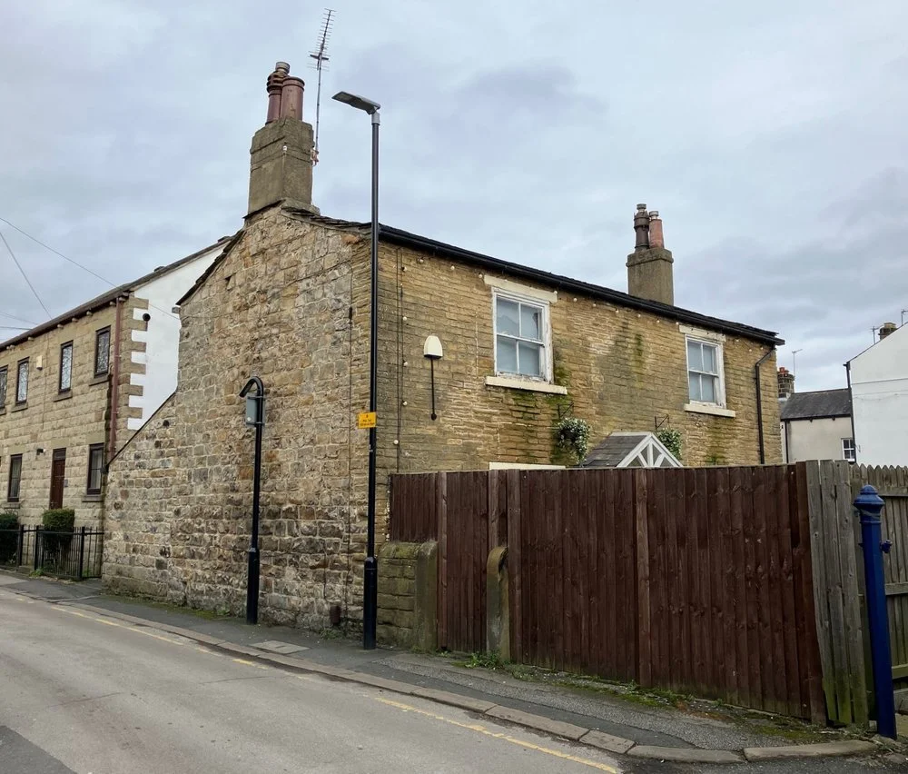
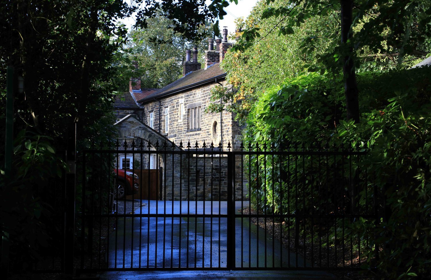
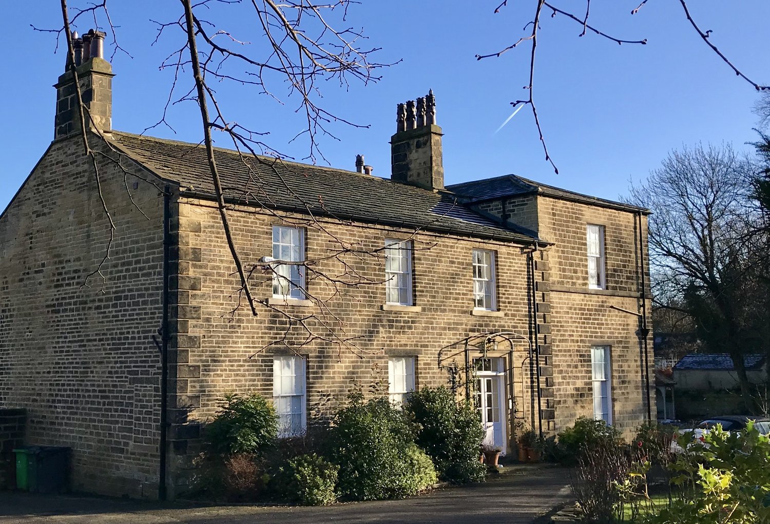
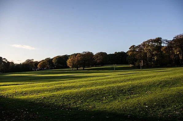
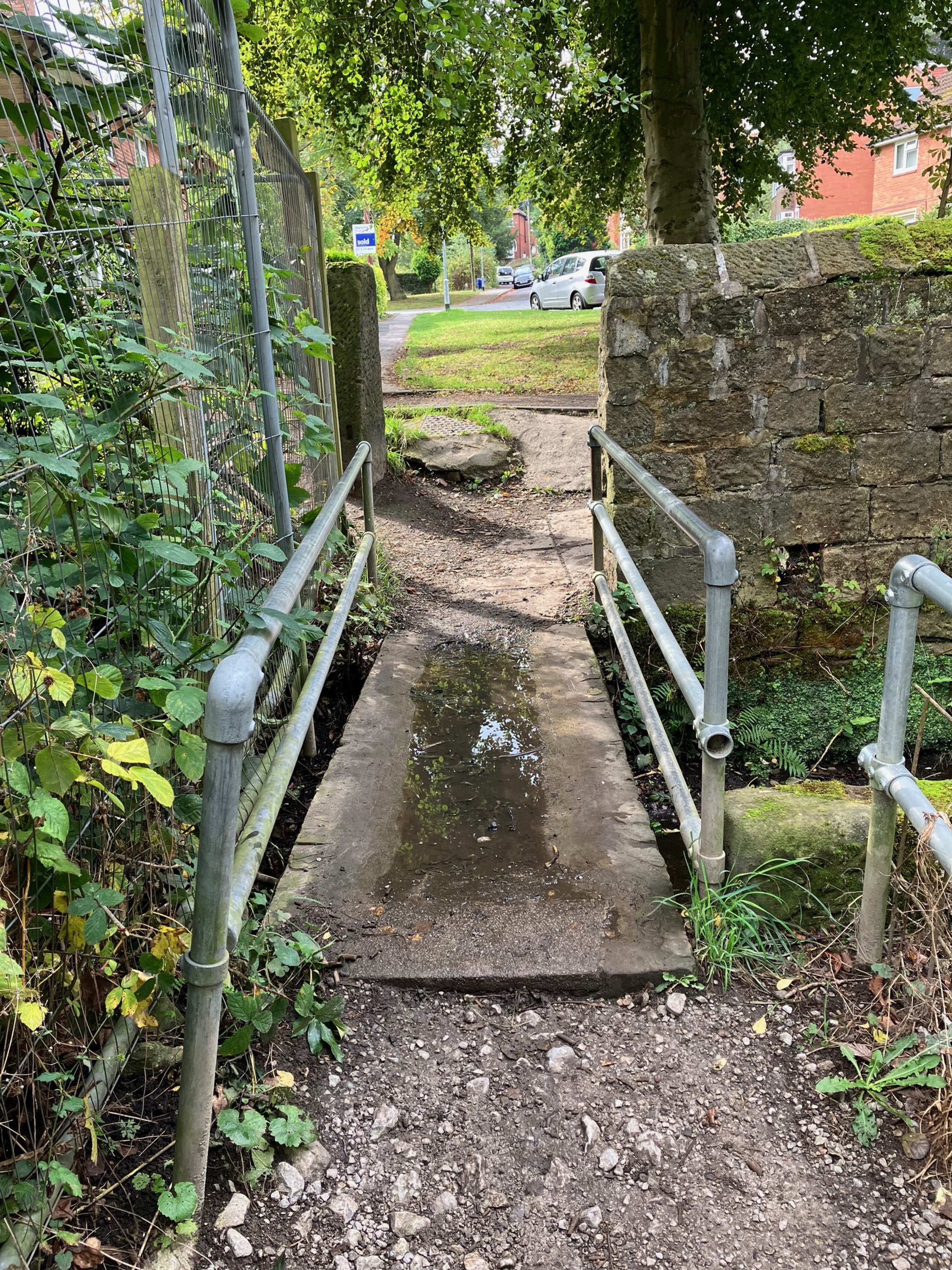
Headingley was developed as an industrial suburb by the Victorians. But for a thousand years (or more) it was a village, “this pleasant rural village” as it was called just before Victoria’s accession (in Edward Parsons, History of Leeds, 1834). Of course, most of Headingley’s rural heritage has been overlaid by Victorian development. But traces persist. And these ‘rural remains’ are shown in the gallery above. They are explored here through the imaginary eyes of Ralph Thoresby, whose book Ducatus Leodiensis (‘The Duchy of Leeds’), published in 1715, surveys the town and its surroundings, including ‘Hedingley’, at the beginning of the eighteenth century.
Photographs by Jerry Hardman-Jones (JHJ), Helen Pickering (HP), Andrew Pomeroy (AP) and Richard Tyler (RT). Photographs are subject to copyright and should not be reproduced without the owner's permission.
For further information, follow the links in the captions above, and see also Eveleigh Bradford, Headingley: this pleasant rural village, Northern Heritage (2008), and David Hall, Far Headingley, Weetwood and West Park, Far Headingley Village Society (2000) and the Thoresby Society, at https://www.thoresby.org.uk/index.html